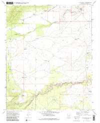
1970 Map of Chavez Mtn NW
USGS Topo · Published 1985About this map
Coconino National Forest defines this high-desert landscape in northern Arizona, where the terrain is carved by deep, winding drainages. The map records a complex network of water management features essential for ranching and forest maintenance, including family-named sites like Little Kelley Tank and Big Kelley Tank in the northeast and the Morton Tanks to the southwest. The presence of a Corral and a Jeep Trail suggests the area's continued use for livestock and land management.
Find a feature on this map
31 named features on this map. Tap any name to fly to it.
Don’t see what you’re looking for? This feature index may not catch every label — zoom into the map to look around manually.
Map Details
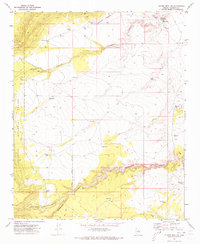
Editions of this 1970 Chavez Mtn NW Map
2 editions found
Other maps of this area

1886 · San Francisco Mtns
USGS Topo · 1:250,000

1887 · Verde
USGS Topo · 1:250,000

1891 · San Francisco Mtns
USGS Topo · 1:250,000

1892 · Verde
USGS Topo · 1:250,000

1894 · San Francisco Mtns
USGS Topo · 1:250,000

1899 · San Francisco Mtns
USGS Topo · 1:250,000

1947 · Flagstaff
USGS Topo · 1:250,000

1954 · Flagstaff
USGS Topo · 1:250,000

1954 · Holbrook
USGS Topo · 1:250,000

1957 · Holbrook
USGS Topo · 1:250,000