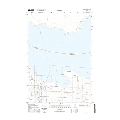
2014 Map of Cheboygan
USGS Topo · Published 2014About this map
Cheboygan sits at the gateway to the Straits of Mackinac, where the mouth of the Little Black R meets the South Channel of Lake Huron. The landscape is defined by its maritime orientation, featuring a series of prominent coastal projections such as Cheboygan Point, Lighthouse Point, and Stony Point. Within the city, the Bascule Bridge serves as a critical infrastructure point for local navigation. North of the mainland across the Waterway Harbor, the settlement of Pointe Aux Pins occupies a sheltered position on the shoreline, surrounded by named landmarks like Packard Point and Rosie Point. The map provides specific locations for local genealogy and history, including Pine Hill Cem on the west side of town and the residential street grids extending toward Duncan Bay and Grass Bay.
Find a feature on this map
70 named features on this map. Tap any name to fly to it.
Don’t see what you’re looking for? This feature index may not catch every label — zoom into the map to look around manually.
Map Details
Editions of this 2014 Cheboygan Map
This is the sole edition of this map. No revisions or reprints were ever made.
Other maps of this area

1955 · Cheboygan
USGS Topo · 1:250,000

1957 · Cheboygan
USGS Topo · 1:62,500

1957 · Mullett Lake
USGS Topo · 1:62,500

1958 · Cheboygan
USGS Topo · 1:250,000

1964 · Round Island
USGS Topo · 1:24,000

1964 · McRae Bay
USGS Topo · 1:24,000

1982 · Cordwood Point
USGS Topo · 1:25,000

1982 · Cheboygan
USGS Topo · 1:25,000

1982 · Point Nipigon
USGS Topo · 1:25,000

1982 · Aloha
USGS Topo · 1:25,000