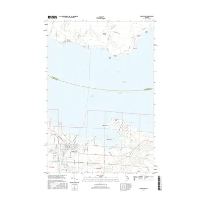
2017 Map of Cheboygan
USGS Topo · Published 2017About this map
The city of Cheboygan sits at the confluence of the Cheboygan River and Lake Huron, serving as a critical maritime gateway. This 2017 survey details the urban layout and harbor facilities, including the Little Black River and the sheltered waters of Duncan Bay. To the north, across the South Channel of the Straits of Mackinac, lies the southern portion of Bois Blanc Island, featuring the settlement of Pointe Aux Pins and the protected Waterway Harbor.
Find a feature on this map
104 named features on this map. Tap any name to fly to it.
Don’t see what you’re looking for? This feature index may not catch every label — zoom into the map to look around manually.
Map Details
Editions of this 2017 Cheboygan Map
This is the sole edition of this map. No revisions or reprints were ever made.
Other maps of this area

1955 · Cheboygan
USGS Topo · 1:250,000

1957 · Cheboygan
USGS Topo · 1:62,500

1957 · Mullett Lake
USGS Topo · 1:62,500

1958 · Cheboygan
USGS Topo · 1:250,000

1964 · Round Island
USGS Topo · 1:24,000

1964 · McRae Bay
USGS Topo · 1:24,000

1982 · Cordwood Point
USGS Topo · 1:25,000

1982 · Cheboygan
USGS Topo · 1:25,000

1982 · Point Nipigon
USGS Topo · 1:25,000

1982 · Aloha
USGS Topo · 1:25,000