
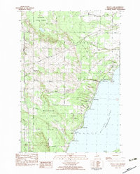
1982 Map of Cheboygan
USGS Topo · Published 1983About this map
Cheboygan sits at the northern terminus of the lower peninsula, where the Cheboygan River meets the South Channel of the Straits of Mackinac. This 1982 provisional survey captures the city's maritime and industrial character, from the Detroit & Mackinac railroad tracks to the piers lining Duncan Bay. Local landmarks like the Pine Hill Cem, Westside Sch, and Eastside Sch provide clear reference points for family historians.
Find a feature on this map
43 named features on this map. Tap any name to fly to it.
Don’t see what you’re looking for? This feature index may not catch every label — zoom into the map to look around manually.
Map Details
Editions of this 1982 Cheboygan Map
This is the sole edition of this map. No revisions or reprints were ever made.
Other maps of this area

1955 · Cheboygan
USGS Topo · 1:250,000

1957 · Cheboygan
USGS Topo · 1:62,500

1957 · Mullett Lake
USGS Topo · 1:62,500

1958 · Cheboygan
USGS Topo · 1:250,000

1964 · Round Island
USGS Topo · 1:24,000

1964 · McRae Bay
USGS Topo · 1:24,000

1982 · Cordwood Point
USGS Topo · 1:25,000

1982 · Point Nipigon
USGS Topo · 1:25,000

1982 · Aloha
USGS Topo · 1:25,000
1982 · Mullett Lake
USGS Topo · 1:25,000