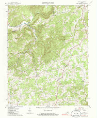
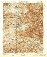
1963 Map of Check
USGS Topo · Published 1986About this map
Simpsons and the surrounding high country of Floyd Co define this mid-century portrait of the Blue Ridge foothills. The landscape is marked by a network of small settlements and isolated crossroads, where life centered on local institutions like Smiths Chapel, Pine Forest Ch, and Mt Olivet Ch. The terrain is deeply carved by the South Fork Roanoke River and numerous tributaries such as Goose Creek and Bottom Creek, illustrating the complex drainage patterns that shaped local travel and agriculture.
Find a feature on this map
43 named features on this map. Tap any name to fly to it.
Don’t see what you’re looking for? This feature index may not catch every label — zoom into the map to look around manually.
Map Details
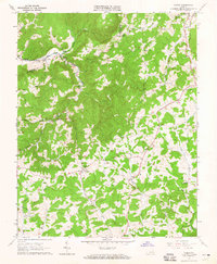
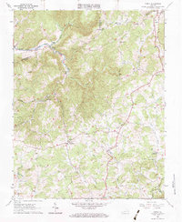
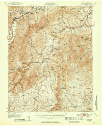
Editions of this 1963 Check Map
3 editions found
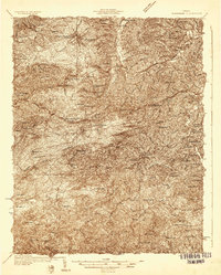
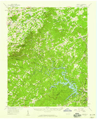
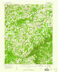
Other maps of this area

1890 · Christiansburg
USGS Topo · 1:125,000
1932 · Blacksburg
USGS Topo · 1:48,000
1937 · Blacksburg
USGS Topo · 1:62,500
1950 · Elliston
USGS Topo · 1:62,500

1953 · Winston-Salem
USGS Topo · 1:250,000

1955 · Bluefield
USGS Topo · 1:250,000

1955 · Winston-Salem
USGS Topo · 1:250,000
1957 · Endicott
USGS Topo · 1:62,500
1957 · Floyd
USGS Topo · 1:62,500

1957 · Bluefield
USGS Topo · 1:250,000