
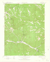
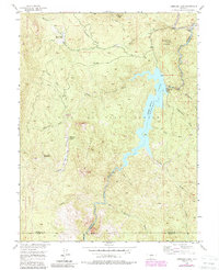
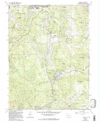
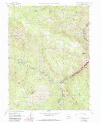
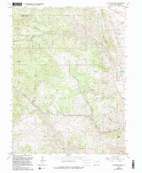
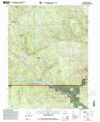
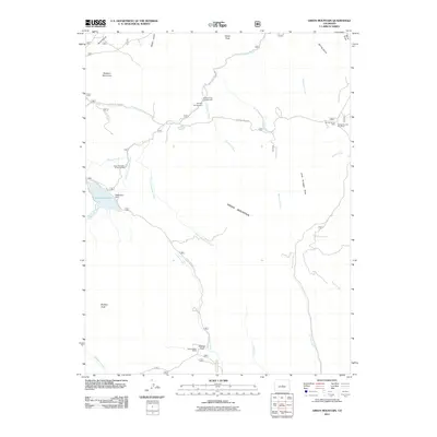
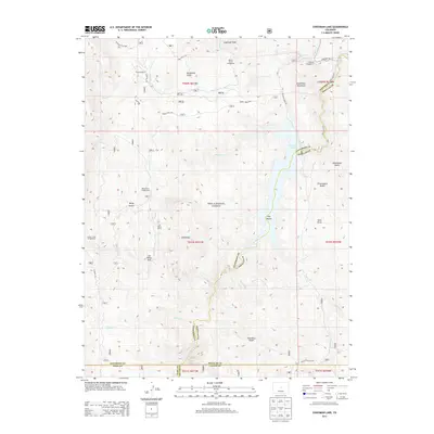
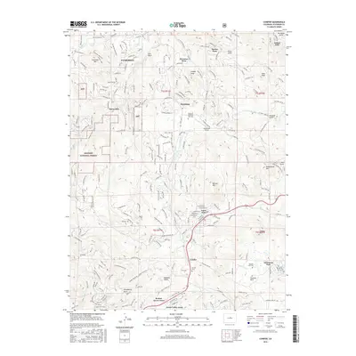
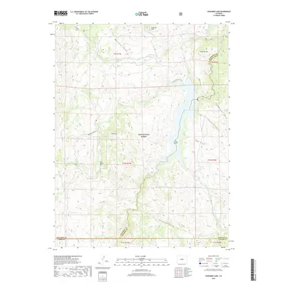
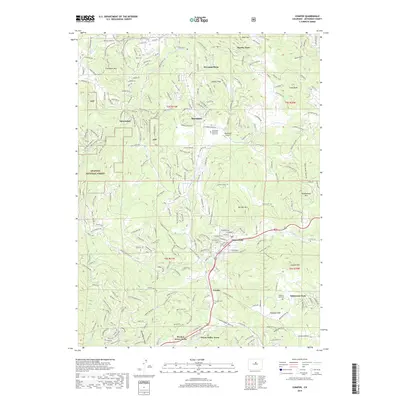
1994 Map of Cheesman Lake
USGS Topo · Published 2001About this map
Cheesman Lake serves as the central hub of this mid-1990s survey, surrounded by the high elevations of the Pike National Forest. The geography is defined by the convergence of several major drainages, including Goose Creek and Wigwam Creek, which feed into the reservoir controlled by the Cheesman Dam. This area at the border of Jefferson and Douglas counties has long been a retreat for recreational and youth organizations, evidenced by the presence of the Flying G Ranch, the Wigwam Club, and Lost Valley Ranch.
Find a feature on this map
27 named features on this map. Tap any name to fly to it.
Don’t see what you’re looking for? This feature index may not catch every label — zoom into the map to look around manually.
Map Details
Editions of this 1994 Cheesman Lake Map
This is the sole edition of this map. No revisions or reprints were ever made.
Historical Maps of Jefferson County Through Time
66 maps found

1906 Blackhawk
Jefferson County, CO

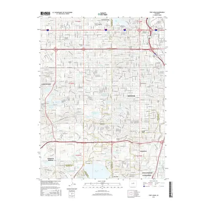
1941 Fort Logan
Jefferson County, CO

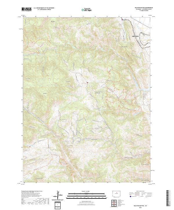
1942 Ralston Buttes
Jefferson County, CO

1944 Ralston Buttes
Jefferson County, CO
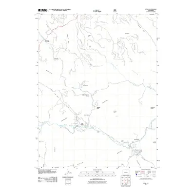
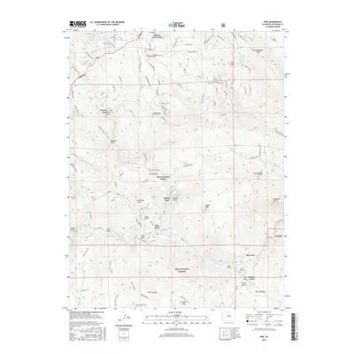
1945 Pine
Jefferson County, CO
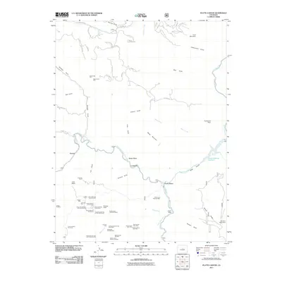
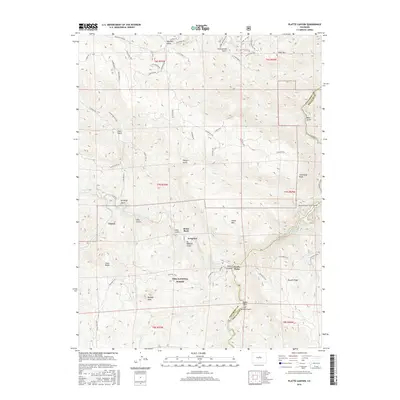
1945 Platte Canyon
Jefferson County, CO

1948 Fort Logan
Jefferson County, CO

1948 Pine
Jefferson County, CO
1948 Platte Canyon
Jefferson County, CO

1948 Ralston Buttes
Jefferson County, CO
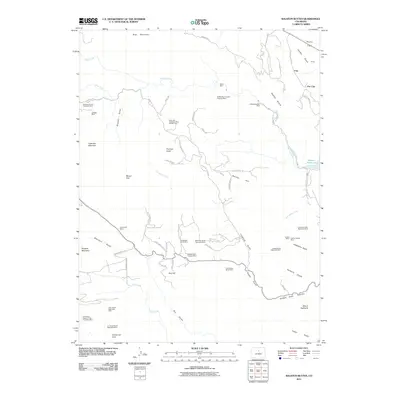
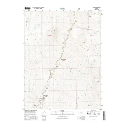
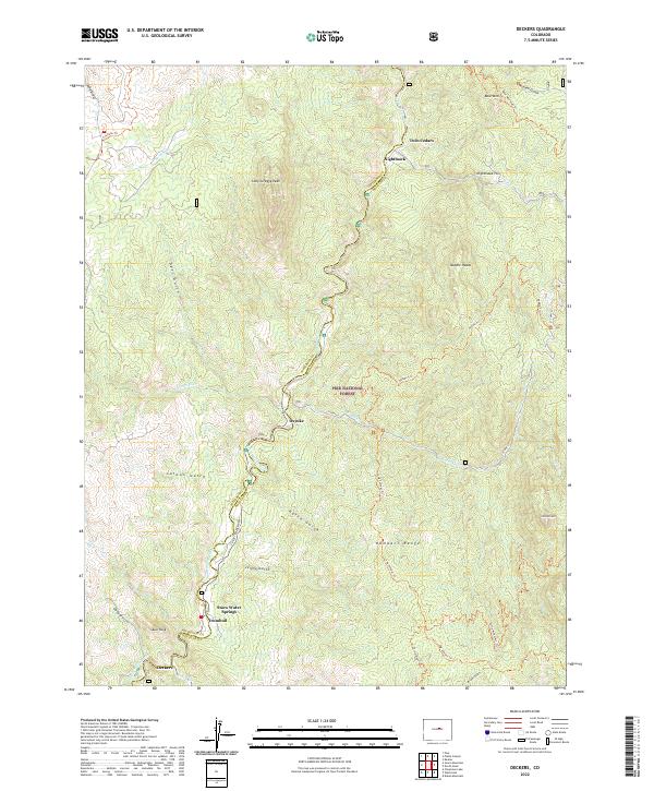
1954 Deckers
Jefferson County, CO

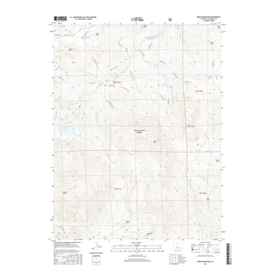
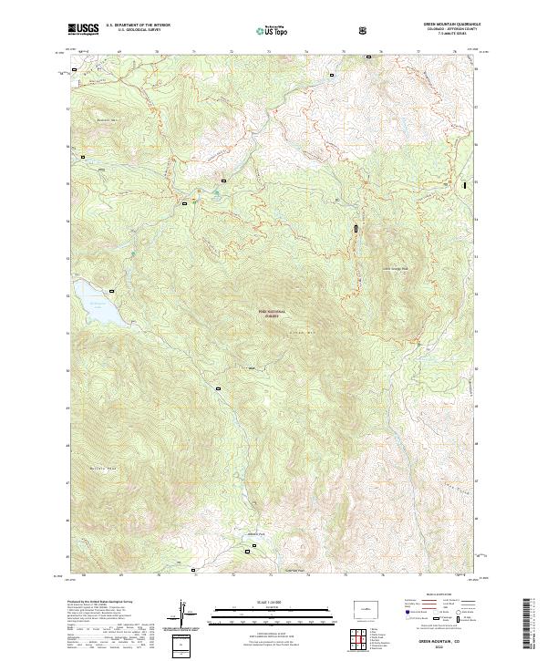
1954 Green Mountain
Jefferson County, CO
1956 Cheesman Lake
Jefferson County, CO

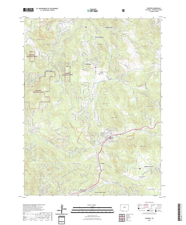
1957 Conifer
Jefferson County, CO

1957 Fort Logan
Jefferson County, CO
1965 Conifer
Jefferson County, CO
1965 Fort Logan
Jefferson County, CO
1965 Pine
Jefferson County, CO
1965 Platte Canyon
Jefferson County, CO
1965 Ralston Buttes
Jefferson County, CO
1983 Denver West
Jefferson County, CO
1994 Cheesman Lake
Jefferson County, CO

1994 Deckers
Jefferson County, CO
1994 Green Mountain
Jefferson County, CO
1994 Pine
Jefferson County, CO

1994 Platte Canyon
Jefferson County, CO
2011 Cheesman Lake
Jefferson County, CO
2011 Conifer
Jefferson County, CO
2011 Deckers
Jefferson County, CO

2011 Fort Logan
Jefferson County, CO
2011 Green Mountain
Jefferson County, CO
2011 Pine
Jefferson County, CO
2011 Platte Canyon
Jefferson County, CO
2011 Ralston Buttes
Jefferson County, CO
2013 Cheesman Lake
Jefferson County, CO
2013 Conifer
Jefferson County, CO
2013 Deckers
Jefferson County, CO

2013 Fort Logan
Jefferson County, CO
2013 Green Mountain
Jefferson County, CO
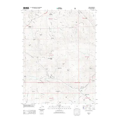
2013 Pine
Jefferson County, CO
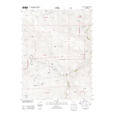
2013 Platte Canyon
Jefferson County, CO
2013 Ralston Buttes
Jefferson County, CO
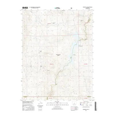
2016 Cheesman Lake
Jefferson County, CO
2016 Conifer
Jefferson County, CO
2016 Deckers
Jefferson County, CO
2016 Fort Logan
Jefferson County, CO
2016 Green Mountain
Jefferson County, CO
2016 Pine
Jefferson County, CO
2016 Platte Canyon
Jefferson County, CO
2016 Ralston Buttes
Jefferson County, CO
2019 Cheesman Lake
Jefferson County, CO
2019 Conifer
Jefferson County, CO
2019 Deckers
Jefferson County, CO
2019 Fort Logan
Jefferson County, CO
2019 Green Mountain
Jefferson County, CO
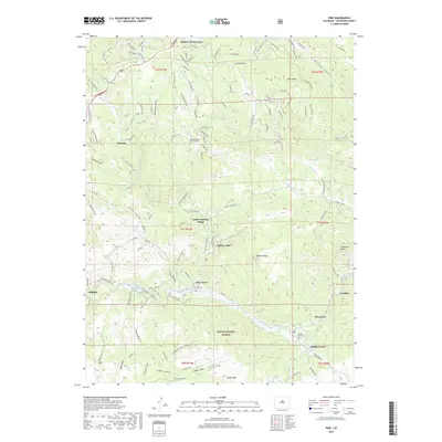
2019 Pine
Jefferson County, CO
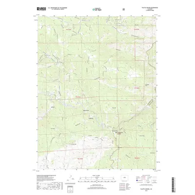
2019 Platte Canyon
Jefferson County, CO
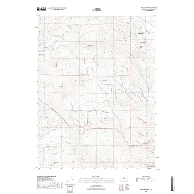
2019 Ralston Buttes
Jefferson County, CO
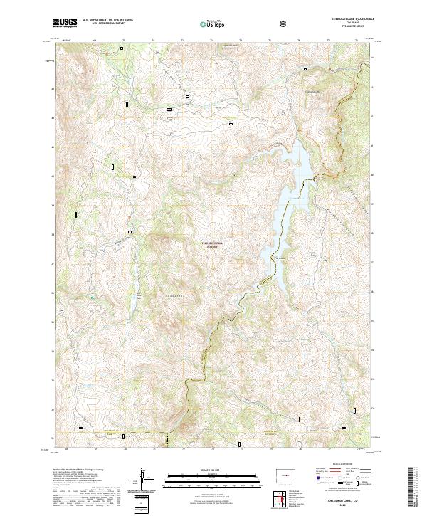
2022 Cheesman Lake
Jefferson County, CO
2022 Conifer
Jefferson County, CO
2022 Deckers
Jefferson County, CO

2022 Fort Logan
Jefferson County, CO
2022 Green Mountain
Jefferson County, CO

2022 Pine
Jefferson County, CO

2022 Platte Canyon
Jefferson County, CO
2022 Ralston Buttes
Jefferson County, CO