
1956 Map of Hackett Mountain
USGS Topo · Published 1957About this map
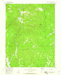
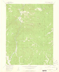
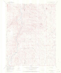
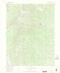
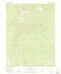
Wildhorn Ranch and Custer Cabins anchor the high-country terrain of this mid-century survey, which reveals a landscape defined by water and forest management. The South Platte River winds through the western half of the quadrangle, joined by substantial tributaries like Tarryall Creek and Crystal Creek. This era of the Pike National Forest is characterized by its network of rugged accessibility, shown here through numerous Jeep Trails that crisscross the steep drainage systems of Metberry Gulch and Hackett Gulch.
Find a feature on this map
23 named features on this map. Tap any name to fly to it.
Don’t see what you’re looking for? This feature index may not catch every label — zoom into the map to look around manually.
Map Details
Editions of this 1956 Hackett Mountain Map
9 editions found
Other maps of this area

1893 · Platte Canyon
USGS Topo · 1:125,000

1894 · Pikes Peak
USGS Topo · 1:125,000

1901 · Pikes Peak
USGS Topo · 1:125,000

1901 · Pikes Peak
USGS Topo · 1:62,500

1953 · Denver
USGS Topo · 1:250,000

1954 · Signal Butte
USGS Topo · 1:24,000

1954 · Divide
USGS Topo · 1:24,000

1954 · Pueblo
USGS Topo · 1:250,000

1956 · Mc Curdy Mountain
USGS Topo · 1:24,000

1956 · Tarryall
USGS Topo · 1:24,000