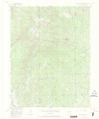
1956 Map of Hackett Mountain
USGS Topo · Published 1971About this map
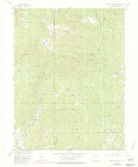
The South Platte River winds through the heart of the Pike National Forest in this mid-century survey, marking the jagged boundary between Park and Teller counties. This landscape is defined by its deep gulches and significant water features, including the confluence of Tarryall Creek and the main river. Small, localized pockets of habitation like Custer Cabins and Wildhorn Ranch stand out against the high-elevation terrain of Hackett Mountain and Cedar Mountain. The map records an era of remote recreation and land management, with the Longwater Trail and Phantom Cr Trail providing access to the interior. A solitary Mine located south of Beaver Creek and the small settlement at Pulver hint at the area's mixed history of resource extraction and seasonal grazing. Numerous Beaver Ponds are documented along Crystal Creek and Hackett Gulch, reflecting the hydrology of the Front Range before more modern development.
Find a feature on this map
22 named features on this map. Tap any name to fly to it.
Don’t see what you’re looking for? This feature index may not catch every label — zoom into the map to look around manually.
Map Details
Editions of this 1956 Hackett Mountain Map
9 editions found

Other maps of this area

1893 · Platte Canyon
USGS Topo · 1:125,000

1894 · Pikes Peak
USGS Topo · 1:125,000

1901 · Pikes Peak
USGS Topo · 1:125,000

1901 · Pikes Peak
USGS Topo · 1:62,500

1953 · Denver
USGS Topo · 1:250,000

1954 · Signal Butte
USGS Topo · 1:24,000

1954 · Divide
USGS Topo · 1:24,000

1954 · Pueblo
USGS Topo · 1:250,000

1956 · Mc Curdy Mountain
USGS Topo · 1:24,000

1956 · Tarryall
USGS Topo · 1:24,000