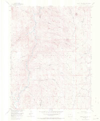
1956 Map of Hackett Mountain
USGS Topo · Published 1971About this map
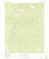
The South Platte River carves through the heart of this mid-century landscape in the Pike National Forest, defining the rugged geography along the border of Park and Teller counties. In the mid-1950s, this area was characterized by a network of primitive access points and small outposts like Wildhorn Ranch and Custer Cabins. The survey captures a high-elevation backcountry accessible primarily by routes like the Longwater Trail and Transfer Trail, where numerous Beaver Ponds are mapped along drainage systems like Beaver Creek and Metberry Gulch. Higher elevations are anchored by prominent landmarks such as Hackett Mountain and Cedar Mountain. The presence of a Dam on the river and scattered markers for a Mine reflect the era's localized water management and resource exploration within the canyon-heavy terrain south of Platte Springs.
Find a feature on this map
30 named features on this map. Tap any name to fly to it.
Don’t see what you’re looking for? This feature index may not catch every label — zoom into the map to look around manually.
Map Details
Editions of this 1956 Hackett Mountain Map
9 editions found

Other maps of this area

1893 · Platte Canyon
USGS Topo · 1:125,000

1894 · Pikes Peak
USGS Topo · 1:125,000

1901 · Pikes Peak
USGS Topo · 1:125,000

1901 · Pikes Peak
USGS Topo · 1:62,500

1953 · Denver
USGS Topo · 1:250,000

1954 · Signal Butte
USGS Topo · 1:24,000

1954 · Divide
USGS Topo · 1:24,000

1954 · Pueblo
USGS Topo · 1:250,000

1956 · Mc Curdy Mountain
USGS Topo · 1:24,000

1956 · Tarryall
USGS Topo · 1:24,000