
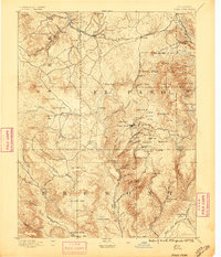
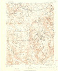
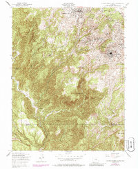
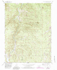
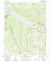
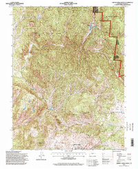
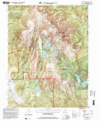
1901 Map of Pikes Peak
USGS Topo · Published 1909About this map
The gold mining boom is in full swing across the southern slopes of Pikes Peak, where a dense network of mountain towns grew rapidly around the ore deposits. The intense industrial activity of the district is evident in the clustered settlements of Cripple Creek, Victor, Goldfield, and Altman, all interconnected by the Florence and Cripple Creek Railroad and the Midland Terminal Railroad. These rail lines were the lifeblood of the high-altitude camps, navigating steep terrain to move ore and supplies. Beyond the mines, the landscape transitions into the preserved natural history of the Fossil Beds near Florissant and the high timber of the Pike National Forest. This survey captures the region when mining was the primary driver of the local economy, long before the consolidation of these many distinct camps into modern municipalities.
Find a feature on this map
107 named features on this map. Tap any name to fly to it.
Don’t see what you’re looking for? This feature index may not catch every label — zoom into the map to look around manually.
Map Details
Editions of this 1901 Pikes Peak Map
This is the sole edition of this map. No revisions or reprints were ever made.
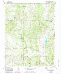
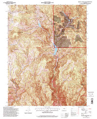
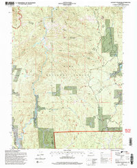
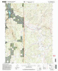
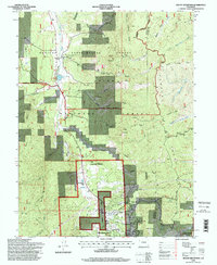
Historical Maps of Woodland Park Through Time
65 maps found
1894 Pikes Peak
Teller County, CO
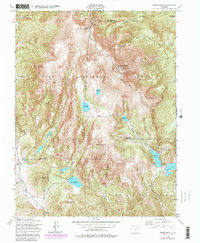
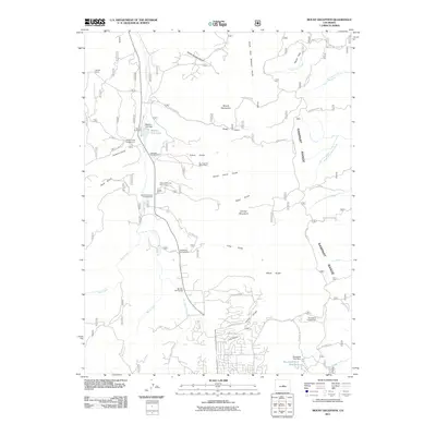
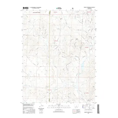
1901 Pikes Peak
Teller County, CO
1901 Pikes Peak
Teller County, CO
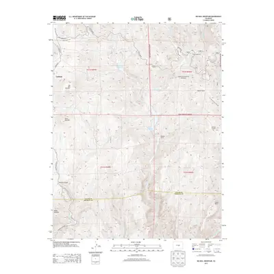
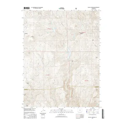
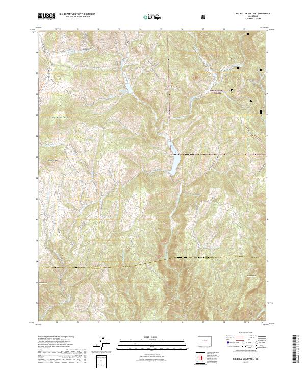
1951 Big Bull Mountain
Teller County, CO
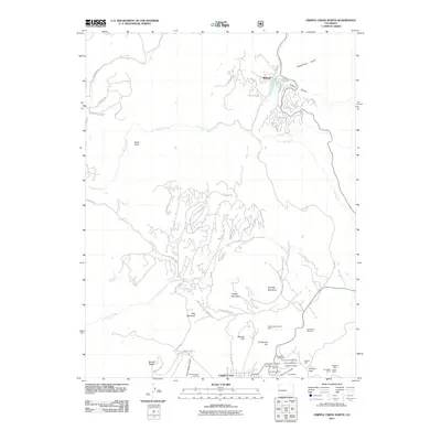
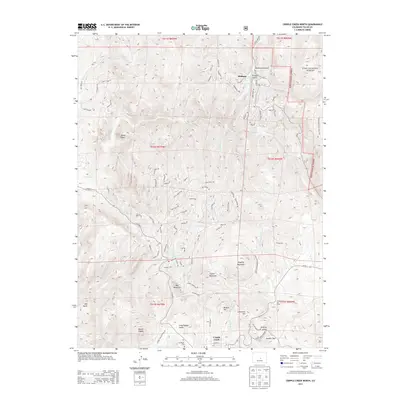
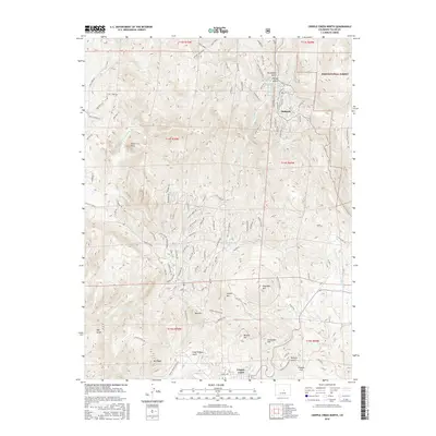
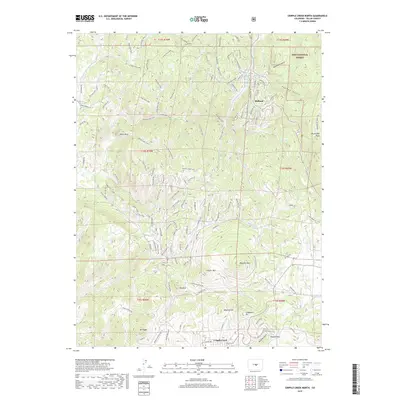
1951 Cripple Creek North
Teller County, CO
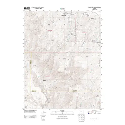
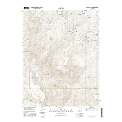
1951 Cripple Creek South
Teller County, CO
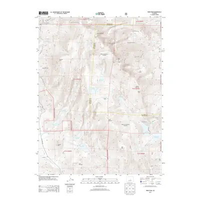
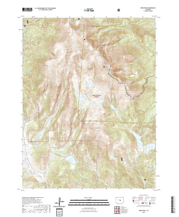
1951 Pikes Peak
Teller County, CO
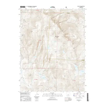
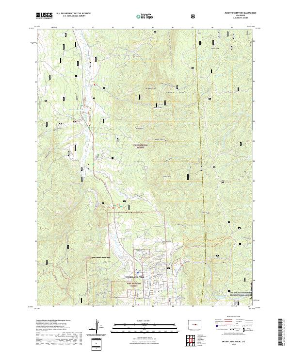
1954 Mount Deception
Teller County, CO
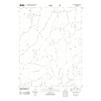
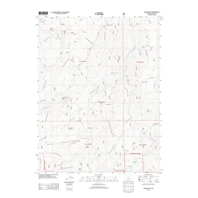
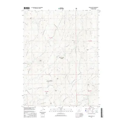
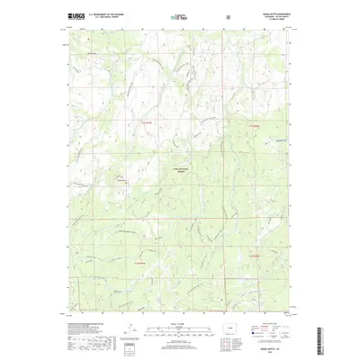
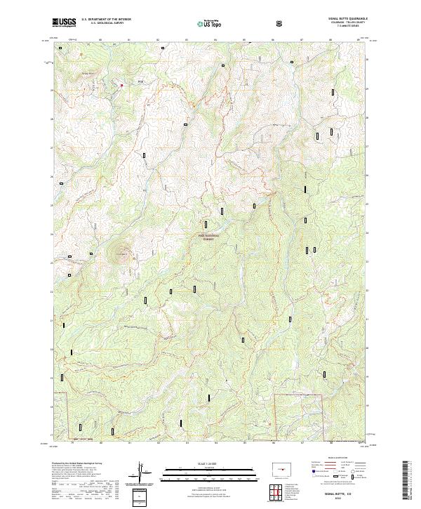
1954 Signal Butte
Teller County, CO
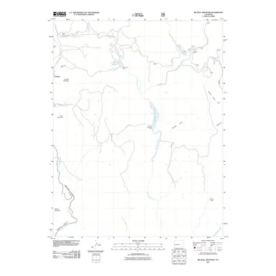
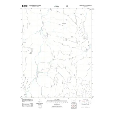
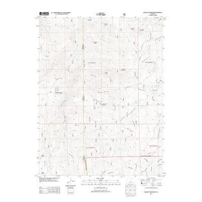
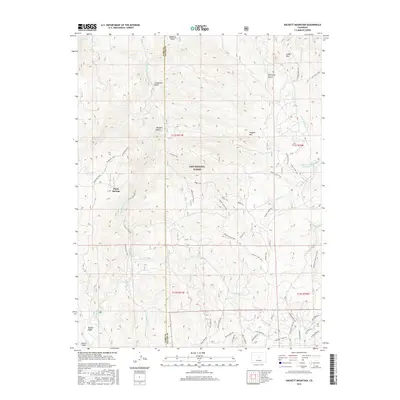
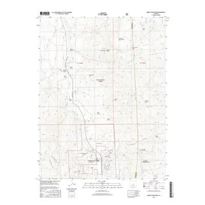
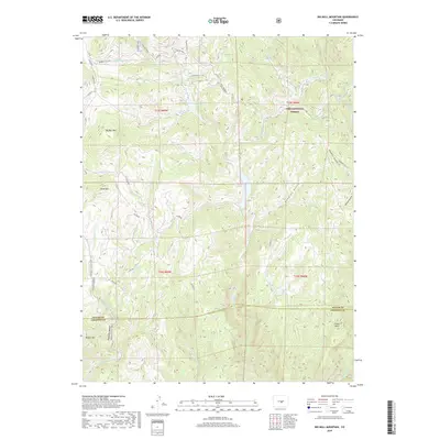
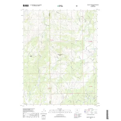
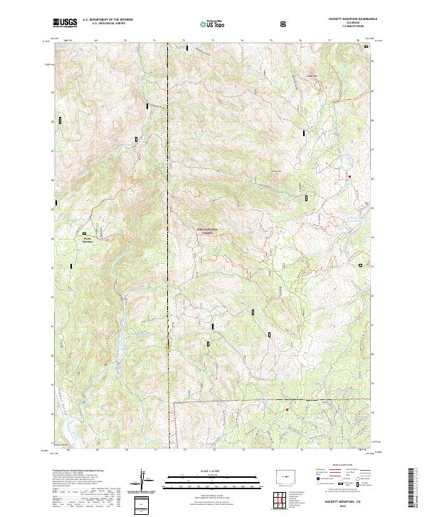
1956 Hackett Mountain
Teller County, CO
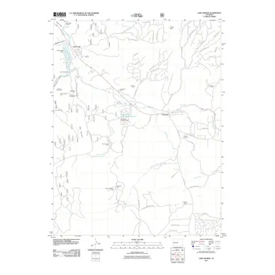
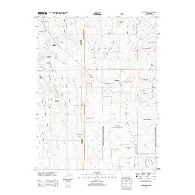
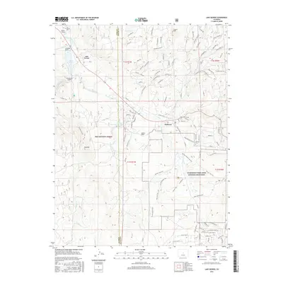
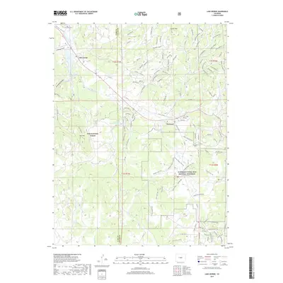
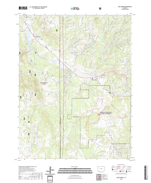
1956 Lake George
Teller County, CO
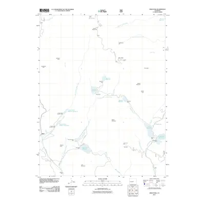
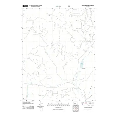
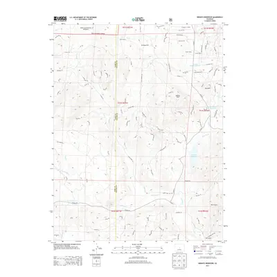
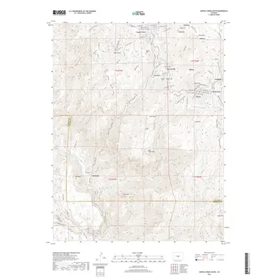
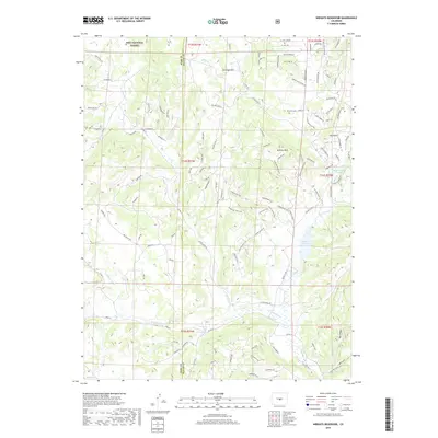
1983 Wrights Reservoir
Teller County, CO
1994 Big Bull Mountain
Teller County, CO
1994 Cripple Creek North
Teller County, CO
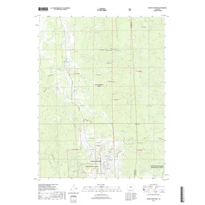
1994 Hackett Mountain
Teller County, CO
1994 Lake George
Teller County, CO
1994 Mount Deception
Teller County, CO
1994 Pikes Peak
Teller County, CO
1994 Signal Butte
Teller County, CO
1994 Wrights Reservoir
Teller County, CO
2010 Cripple Creek South
Teller County, CO
2011 Big Bull Mountain
Teller County, CO
2011 Cripple Creek North
Teller County, CO
2011 Hackett Mountain
Teller County, CO
2011 Lake George
Teller County, CO
2011 Mount Deception
Teller County, CO
2011 Pikes Peak
Teller County, CO
2011 Signal Butte
Teller County, CO
2011 Wrights Reservoir
Teller County, CO
2013 Big Bull Mountain
Teller County, CO
2013 Cripple Creek North
Teller County, CO
2013 Cripple Creek South
Teller County, CO
2013 Hackett Mountain
Teller County, CO
2013 Lake George
Teller County, CO

2013 Mount Deception
Teller County, CO
2013 Pikes Peak
Teller County, CO
2013 Signal Butte
Teller County, CO
2013 Wrights Reservoir
Teller County, CO
2016 Big Bull Mountain
Teller County, CO
2016 Cripple Creek North
Teller County, CO
2016 Cripple Creek South
Teller County, CO
2016 Hackett Mountain
Teller County, CO
2016 Lake George
Teller County, CO
2016 Mount Deception
Teller County, CO
2016 Pikes Peak
Teller County, CO
2016 Signal Butte
Teller County, CO
2016 Wrights Reservoir
Teller County, CO
2019 Big Bull Mountain
Teller County, CO
2019 Cripple Creek North
Teller County, CO
2019 Cripple Creek South
Teller County, CO
2019 Hackett Mountain
Teller County, CO
2019 Lake George
Teller County, CO
2019 Mount Deception
Teller County, CO
2019 Pikes Peak
Teller County, CO
2019 Signal Butte
Teller County, CO
2019 Wrights Reservoir
Teller County, CO
2022 Big Bull Mountain
Teller County, CO

2022 Cripple Creek North
Teller County, CO
2022 Hackett Mountain
Teller County, CO
2022 Lake George
Teller County, CO
2022 Mount Deception
Teller County, CO
2022 Pikes Peak
Teller County, CO
2022 Signal Butte
Teller County, CO
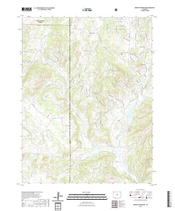
2022 Wrights Reservoir
Teller County, CO
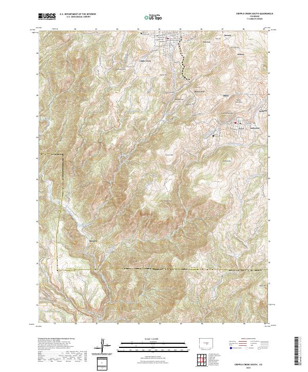
2023 Cripple Creek South
Teller County, CO