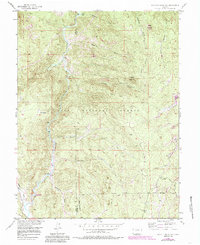
1956 Map of Hackett Mountain
USGS Topo · Published 1985About this map
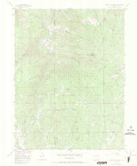
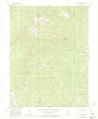
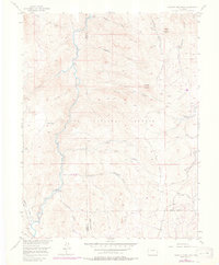
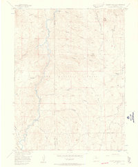
The South Platte River winds through the heart of this mid-century survey, defining a landscape marked by its transition from high-altitude gulches to forest-rimmed valleys. This terrain, encompassing portions of the Pike National Forest and the Lost Creek Wilderness, is characterized by a network of drainage systems such as Hackett Gulch and Longwater Gulch that feed into the main river channel. Small outposts and seasonal destinations like Custer Cabins and Platte Springs indicate a geography shaped by outdoor recreation and remote settlement near the boundary of Park and Teller Counties.
Find a feature on this map
30 named features on this map. Tap any name to fly to it.
Don’t see what you’re looking for? This feature index may not catch every label — zoom into the map to look around manually.
Map Details
Editions of this 1956 Hackett Mountain Map
9 editions found

Other maps of this area

1893 · Platte Canyon
USGS Topo · 1:125,000

1894 · Pikes Peak
USGS Topo · 1:125,000

1901 · Pikes Peak
USGS Topo · 1:125,000

1901 · Pikes Peak
USGS Topo · 1:62,500

1953 · Denver
USGS Topo · 1:250,000

1954 · Signal Butte
USGS Topo · 1:24,000

1954 · Divide
USGS Topo · 1:24,000

1954 · Pueblo
USGS Topo · 1:250,000

1956 · Mc Curdy Mountain
USGS Topo · 1:24,000

1956 · Tarryall
USGS Topo · 1:24,000