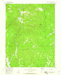
1956 Map of Hackett Mountain
USGS Topo · Published 1960About this map
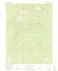
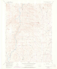
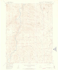
Wildhorn Ranch and Custer Cabins sit within the high-elevation terrain of the Pike National Forest on this mid-century survey. The landscape is defined by the winding course of the South Platte River and its confluence with Tarryall Creek, a region characterized by deep gulches and significant elevation changes. Local history and exploration are reflected in the numerous backcountry routes like the Phantom Creek Trail, Transfer Trail, and Cedar Mountain Road. Small-scale resource extraction is evidenced by a lone Mine located near Crystal Creek. This era of the forest shows a network of Beaver Ponds along the watercourses, highlighting the active natural hydrology before modern developments altered many of these high-country drainage patterns. The map also delineates the boundary between Park and Teller Counties as it traverses the ridges and gulches.
Find a feature on this map
26 named features on this map. Tap any name to fly to it.
Don’t see what you’re looking for? This feature index may not catch every label — zoom into the map to look around manually.
Map Details
Editions of this 1956 Hackett Mountain Map
9 editions found

Other maps of this area

1893 · Platte Canyon
USGS Topo · 1:125,000

1894 · Pikes Peak
USGS Topo · 1:125,000

1901 · Pikes Peak
USGS Topo · 1:125,000

1901 · Pikes Peak
USGS Topo · 1:62,500

1953 · Denver
USGS Topo · 1:250,000

1954 · Signal Butte
USGS Topo · 1:24,000

1954 · Divide
USGS Topo · 1:24,000

1954 · Pueblo
USGS Topo · 1:250,000

1956 · Mc Curdy Mountain
USGS Topo · 1:24,000

1956 · Tarryall
USGS Topo · 1:24,000