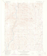
1956 Map of Hackett Mountain
USGS Topo · Published 1977About this map
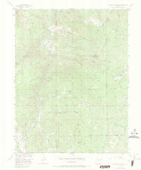
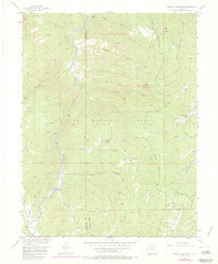
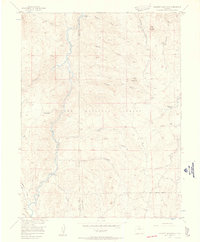
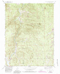
The South Platte River carves a central path through this section of the Pike National Forest, defining a landscape where early mid-century recreational outposts met the rugged demands of the high country. Along the river’s western banks and deep within the surrounding gulches, small settlements like Platte Springs and Custer Cabins provided remote footholds for early visitors and residents. The topography is dominated by prominent peaks such as Hackett Mountain and Cedar Mountain, while a network of primitive routes including the Phantom Cr Trail and Transfer Trail trace the ridges and drainages. This 1956 survey, updated with 1970s aerial data, reveals the sparse infrastructure of the era, from the lone Mine near Crystal Creek to the outlying Wildhorn Ranch in the east, capturing the transition of the front range before more modern development reached these elevations.
Find a feature on this map
26 named features on this map. Tap any name to fly to it.
Don’t see what you’re looking for? This feature index may not catch every label — zoom into the map to look around manually.
Map Details
Editions of this 1956 Hackett Mountain Map
9 editions found

Other maps of this area

1893 · Platte Canyon
USGS Topo · 1:125,000

1894 · Pikes Peak
USGS Topo · 1:125,000

1901 · Pikes Peak
USGS Topo · 1:125,000

1901 · Pikes Peak
USGS Topo · 1:62,500

1953 · Denver
USGS Topo · 1:250,000

1954 · Signal Butte
USGS Topo · 1:24,000

1954 · Divide
USGS Topo · 1:24,000

1954 · Pueblo
USGS Topo · 1:250,000

1956 · Mc Curdy Mountain
USGS Topo · 1:24,000

1956 · Tarryall
USGS Topo · 1:24,000