
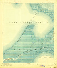
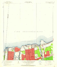
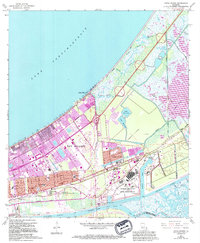
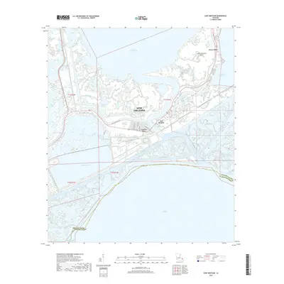
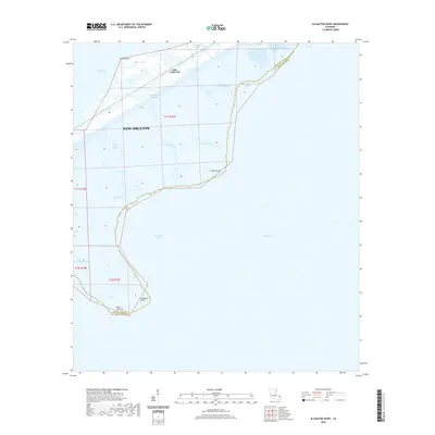
1936 Map of Chef Menteur
USGS Topo · Published 1954About this map
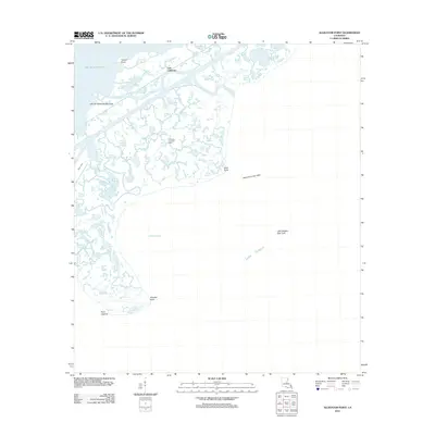
The Corporate Limits of the City of New Orleans stretch across the brackish expanse of Lake Pontchartrain in this mid-1930s survey. The landscape is a complex network of wetlands and waterways, where Bayou Sauvage and Bayou Gentilly wind through the marsh toward Lake Borgne. Coastal defense and transportation infrastructure define the corridor between the lakes, anchored by the brick remains of Fort Macomb guarding the strategic Chef Menteur Pass.
Find a feature on this map
65 named features on this map. Tap any name to fly to it.
Don’t see what you’re looking for? This feature index may not catch every label — zoom into the map to look around manually.
Map Details
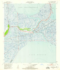
Editions of this 1936 Chef Menteur Map
2 editions found

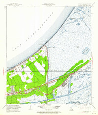
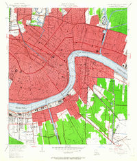
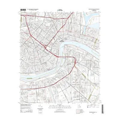
Historical Maps of New Orleans Through Time
60 maps found
1892 Chef Menteur
Orleans Parish, LA

1932 New Orleans NE
Orleans Parish, LA
1936 Chef Menteur
Orleans Parish, LA

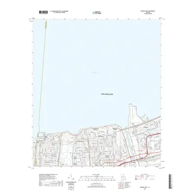
1936 South Point
Orleans Parish, LA

1937 Chef Menteur
Orleans Parish, LA

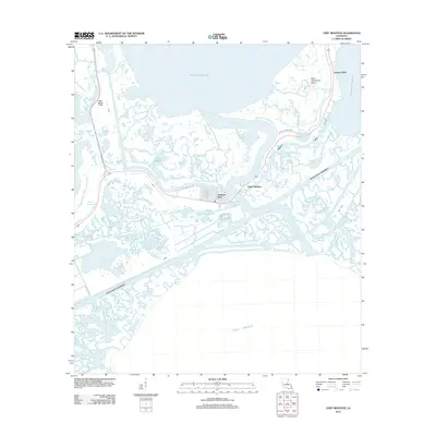
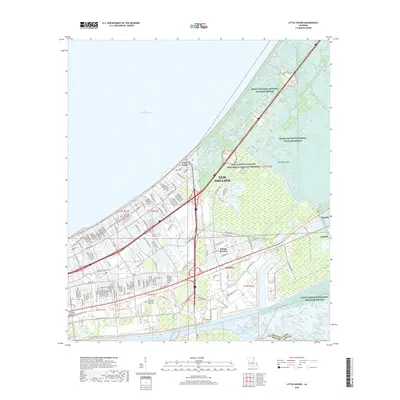
1938 Little Woods
Orleans Parish, LA

1938 Spanish Fort
Orleans Parish, LA

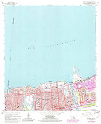
1939 New Orleans East
Orleans Parish, LA

1943 Little Woods
Orleans Parish, LA

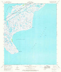
1949 Alligator Point
Orleans Parish, LA
1951 Chef Menteur
Orleans Parish, LA
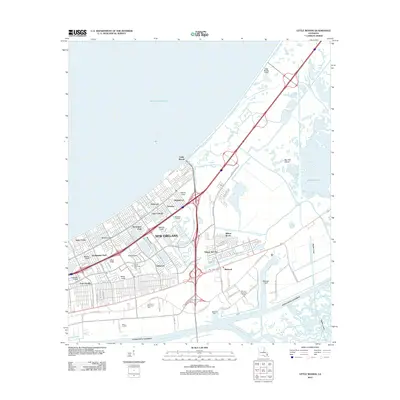
1951 Little Woods
Orleans Parish, LA
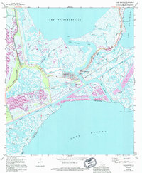
1951 New Orleans East
Orleans Parish, LA

1951 South Point
Orleans Parish, LA
1951 Spanish Fort
Orleans Parish, LA
1956 Alligator Point
Orleans Parish, LA
1965 Spanish Fort
Orleans Parish, LA

1966 New Orleans East
Orleans Parish, LA
1967 Chef Menteur
Orleans Parish, LA
1967 Little Woods
Orleans Parish, LA
1967 South Point
Orleans Parish, LA
1968 Alligator Point
Orleans Parish, LA

1969 Chef Menteur
Orleans Parish, LA

1992 New Orleans East
Orleans Parish, LA
1992 Spanish Fort
Orleans Parish, LA

1994 Alligator Point
Orleans Parish, LA

1998 Chef Menteur
Orleans Parish, LA

1998 Little Woods
Orleans Parish, LA

1998 New Orleans East
Orleans Parish, LA

1999 Spanish Fort
Orleans Parish, LA
2012 Alligator Point
Orleans Parish, LA
2012 Chef Menteur
Orleans Parish, LA
2012 Little Woods
Orleans Parish, LA

2012 New Orleans East
Orleans Parish, LA
2012 South Point
Orleans Parish, LA
2012 Spanish Fort
Orleans Parish, LA
2015 Alligator Point
Orleans Parish, LA
2015 Chef Menteur
Orleans Parish, LA
2015 Little Woods
Orleans Parish, LA
2015 New Orleans East
Orleans Parish, LA
2015 South Point
Orleans Parish, LA
2015 Spanish Fort
Orleans Parish, LA
2018 Alligator Point
Orleans Parish, LA
2018 Chef Menteur
Orleans Parish, LA
2018 Little Woods
Orleans Parish, LA

2018 New Orleans East
Orleans Parish, LA
2018 South Point
Orleans Parish, LA
2018 Spanish Fort
Orleans Parish, LA
2020 Alligator Point
Orleans Parish, LA
2020 Chef Menteur
Orleans Parish, LA
2020 Little Woods
Orleans Parish, LA

2020 New Orleans East
Orleans Parish, LA
2020 South Point
Orleans Parish, LA
2020 Spanish Fort
Orleans Parish, LA
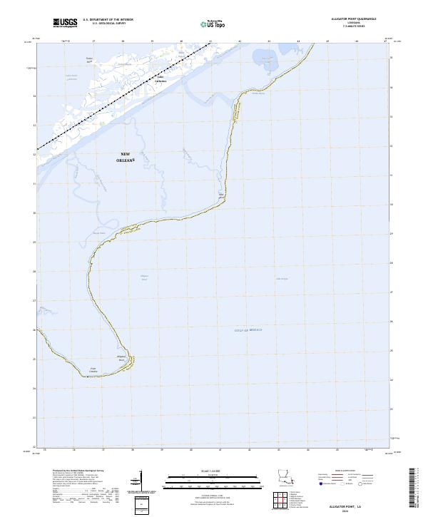
2024 Alligator Point
Orleans Parish, LA
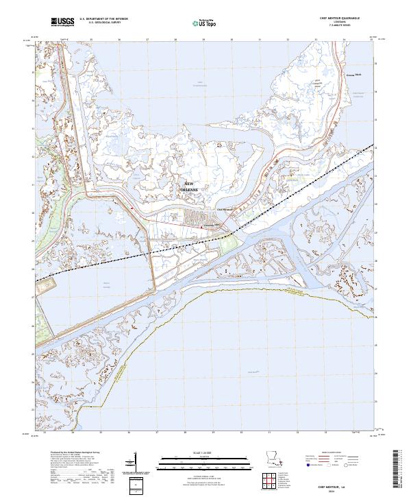
2024 Chef Menteur
Orleans Parish, LA
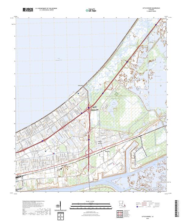
2024 Little Woods
Orleans Parish, LA
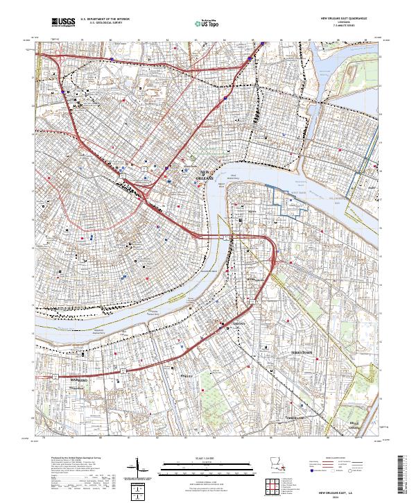
2024 New Orleans East
Orleans Parish, LA
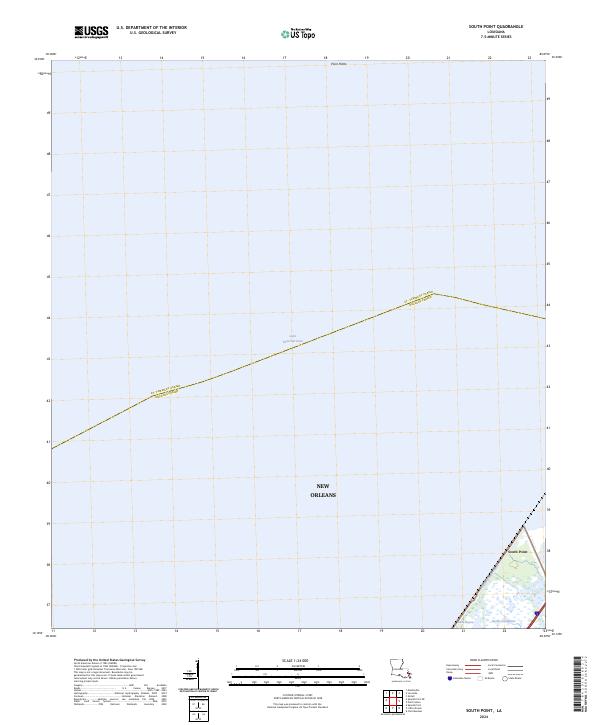
2024 South Point
Orleans Parish, LA
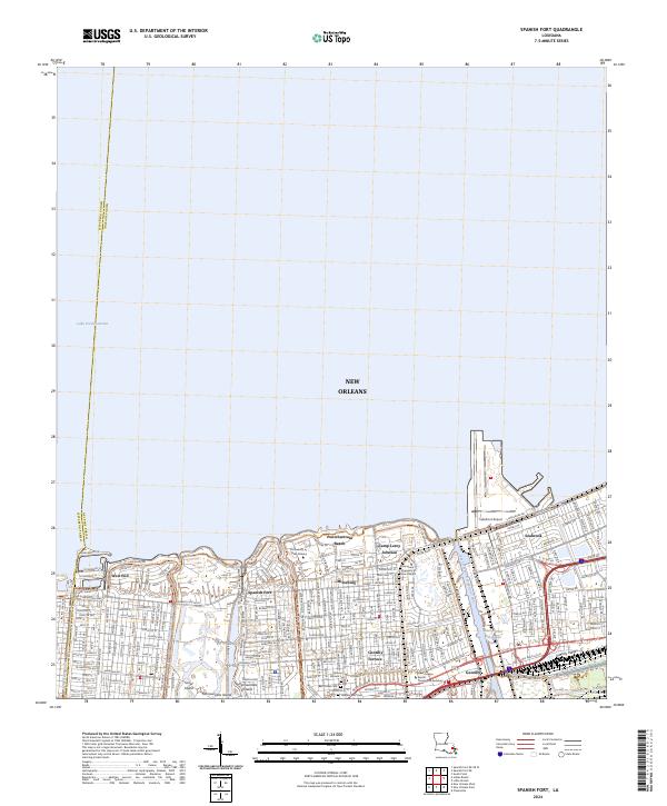
2024 Spanish Fort
Orleans Parish, LA