
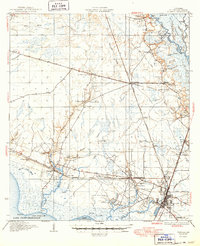
1935 Map of Slidell
USGS Topo · Published 1935About this map
Slidell and the marshy margins of eastern Lake Pontchartrain define this mid-1930s landscape, captured just as aerial photography began to refine the work of surveyors Daniel Kennedy, J.B. Leachman, and J.H. Taubr. The settlement pattern follows the Gulf Mobile and Northern RR and the Southern RR, which converge near North Slidell. In the backcountry, small communities and named holdings like Dixie Ranch and Kenjockety Farm appear alongside institutional landmarks such as the Hygeia Health Camp and Camp Salem. Water dominates the geography, with the Pearl River and West Pearl River systems to the east and the intricate networks of Bayou Lacombe and Bayou Bonfouca draining into the lake. Navigation is anchored by the Bayou Lacombe LH at the shoreline. For genealogists, several family-named burial sites are recorded, including Welch Cem, Crawford Cem, and Parker Cem.
Find a feature on this map
54 named features on this map. Tap any name to fly to it.
Don’t see what you’re looking for? This feature index may not catch every label — zoom into the map to look around manually.
Map Details
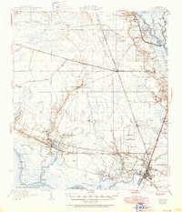
Editions of this 1935 Slidell Map
3 editions found
Other maps of this area

1891 · Spanish Fort
USGS Topo · 1:62,500

1892 · Chef Menteur
USGS Topo · 1:62,500

1893 · Rigolets
USGS Topo · 1:62,500

1914 · Nicholson
USGS Topo · 1:62,500

1921 · Nicholson
USGS Topo · 1:62,500

1935 · Covington
USGS Topo · 1:62,500

1936 · North Shore
USGS Topo · 1:31,680

1936 · South Point
USGS Topo · 1:31,680

1936 · Chef Menteur
USGS Topo · 1:62,500

1936 · Spanish Fort
USGS Topo · 1:62,500