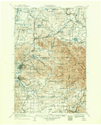
1916 Map of Chehalis
USGS Topo · Published 1950About this map
Centralia and Chehalis anchor a landscape defined by complex river systems and a dense network of early 20th-century railroads. The Northern Pacific, Great Northern, and Chicago Milwaukee and St Paul lines crisscross the territory, supporting timber and agricultural interests like the Salmon Creek Mill. The geography is notably punctuated by numerous rural schoolhouses, such as Brighton Park School and Jackson Prairie School, which served the scattered farming settlements of the Newaukum River and Skookumchuck River valleys.
Find a feature on this map
117 named features on this map. Tap any name to fly to it.
Don’t see what you’re looking for? This feature index may not catch every label — zoom into the map to look around manually.
Map Details
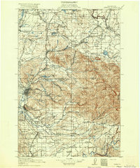
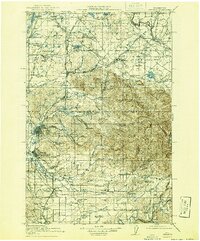
Editions of this 1916 Chehalis Map
4 editions found
Other maps of this area

1897 · Tacoma
USGS Topo · 1:125,000

1900 · Tacoma
USGS Topo · 1:125,000

1916 · Chehalis
USGS Topo · 1:125,000

1919 · Mount St Helens
USGS Topo · 1:125,000

1937 · Olympia
USGS Topo · 1:62,500

1937 · Eatonville
USGS Topo · 1:125,000

1939 · Shelton
USGS Topo · 1:62,500

1940 · Tenino
USGS Topo · 1:62,500

1940 · Anderson Island
USGS Topo · 1:62,500

1941 · Meskill
USGS Topo · 1:62,500