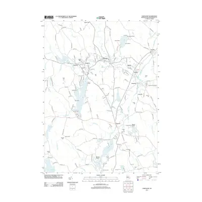
2012 Map of Chepachet
USGS Topo · Published 2012About this map
Chepachet and its surrounding mill villages define this northern Rhode Island landscape, where the Chepachet River and Branch River provided the power for early industrial growth. The map illustrates a dense network of historic settlements including Huntsville, Bridgeton, Glendale, and Mapleville, many of which developed around the region's abundant water resources. Large bodies of water like the Pascoag Reservoir and Wilson Reservoir dominate the western half, while the eastern portion is characterized by a series of prominent hills such as Snake Hill and Gazza Hill. Genealogists will find several family-named burial grounds, including Hawkins Cem, Irons Cem, and Steere Cem, which are tucked away near Snowhurst Farms and Lake Aldersgate. The area's transition from an industrial river valley to a recreational destination is evident in the numerous beaches, such as Spring Lake Beach and Wescott Beach, that now line the various reservoir shores.
Find a feature on this map
183 named features on this map. Tap any name to fly to it.
Don’t see what you’re looking for? This feature index may not catch every label — zoom into the map to look around manually.
Map Details
Editions of this 2012 Chepachet Map
This is the sole edition of this map. No revisions or reprints were ever made.
Other maps of this area

1886 · Blackstone
USGS Topo · 1:62,500

1889 · Blackstone
USGS Topo · 1:62,500

1889 · Webster
USGS Topo · 1:62,500

1889 · Putnam
USGS Topo · 1:62,500

1889 · Burrillville
USGS Topo · 1:62,500

1892 · Webster
USGS Topo · 1:62,500

1893 · Putnam
USGS Topo · 1:62,500

1893 · Blackstone
USGS Topo · 1:62,500

1894 · Burrillville
USGS Topo · 1:62,500

1900 · Blackstone
USGS Topo · 1:62,500