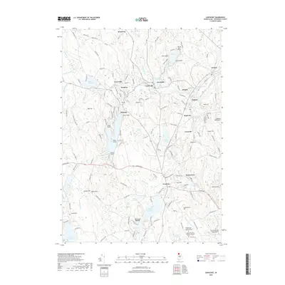
2018 Map of Chepachet
USGS Topo · Published 2018About this map
The Chepachet River and its numerous tributaries and reservoirs anchor this 2018 survey of northwestern Providence County. The village of Chepachet serves as a central hub, where the landscape transitions into a network of historic settlements including Harrisville, Pascoag, and Oakland. The area's industrial legacy is reflected in features like the Harrisville Mill Pond, while its deep genealogical roots are preserved in numerous family burial grounds such as the Irons-Steere Burying Ground Glocester Historic Cem 37 and the Samuel Steere Lot Glocester Historic Cem 107.
Find a feature on this map
163 named features on this map. Tap any name to fly to it.
Don’t see what you’re looking for? This feature index may not catch every label — zoom into the map to look around manually.
Map Details
Editions of this 2018 Chepachet Map
This is the sole edition of this map. No revisions or reprints were ever made.
Other maps of this area

1886 · Blackstone
USGS Topo · 1:62,500

1889 · Blackstone
USGS Topo · 1:62,500

1889 · Webster
USGS Topo · 1:62,500

1889 · Putnam
USGS Topo · 1:62,500

1889 · Burrillville
USGS Topo · 1:62,500

1892 · Webster
USGS Topo · 1:62,500

1893 · Putnam
USGS Topo · 1:62,500

1893 · Blackstone
USGS Topo · 1:62,500

1894 · Burrillville
USGS Topo · 1:62,500

1900 · Blackstone
USGS Topo · 1:62,500