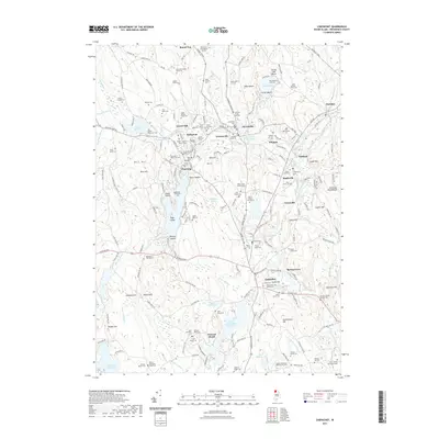
2021 Map of Chepachet
USGS Topo · Published 2021About this map
The industrial and burial history of northern Rhode Island is etched into the landscape surrounding Pascoag and Harrisville. This area of Providence County is characterized by numerous small mill ponds and reservoirs, such as Wilson Reservoir and Harrisville Mill Pond, which once powered the region’s local industry. A remarkable number of family burial plots and formal cemeteries are scattered throughout the hills, including the Irons Steere Burying Ground and the Sherman Burlingame Lot Cem.
Find a feature on this map
188 named features on this map. Tap any name to fly to it.
Don’t see what you’re looking for? This feature index may not catch every label — zoom into the map to look around manually.
Map Details
Editions of this 2021 Chepachet Map
This is the sole edition of this map. No revisions or reprints were ever made.
Other maps of this area

1886 · Blackstone
USGS Topo · 1:62,500

1889 · Blackstone
USGS Topo · 1:62,500
1889 · Webster
USGS Topo · 1:62,500
1889 · Putnam
USGS Topo · 1:62,500
1889 · Burrillville
USGS Topo · 1:62,500
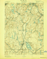
1892 · Webster
USGS Topo · 1:62,500
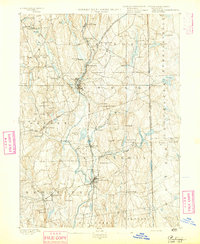
1893 · Putnam
USGS Topo · 1:62,500
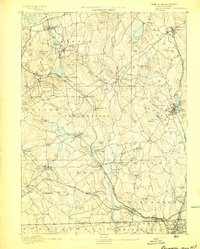
1893 · Blackstone
USGS Topo · 1:62,500
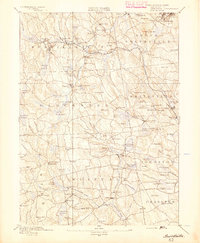
1894 · Burrillville
USGS Topo · 1:62,500
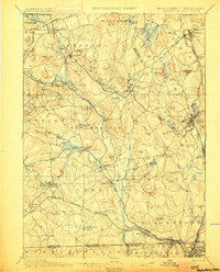
1900 · Blackstone
USGS Topo · 1:62,500