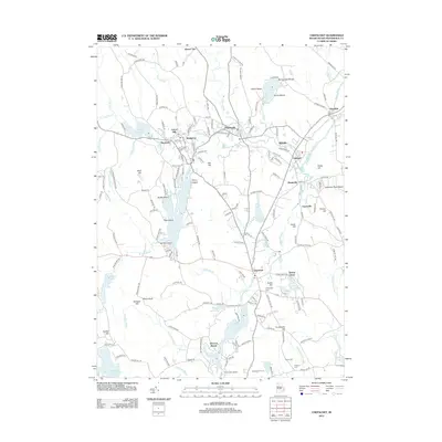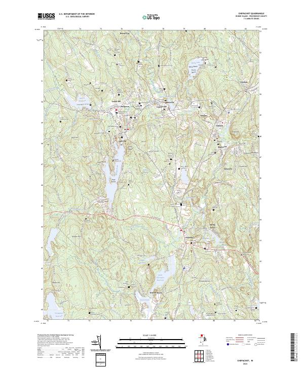
2024 Map of Chepachet
USGS Topo · Published 2024About this map
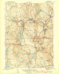
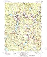
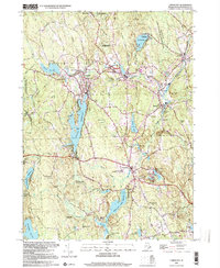
The villages of Pascoag and Harrisville define the industrial and civic heart of this Providence County landscape, where the Clear River and Nipmuc River once powered local mills. Numerous family-named burial sites, such as the Eddy Aldrich Lot Cem and Israel Young Lot Cem, are scattered throughout the hills, providing a remarkably dense record for genealogical research. The northern reach of the map is punctuated by the Spring Lake recreation area, while the southern terrain is dominated by the Smith and Sayles Reservoir and the historic crossroads of Chepachet. This area reflects a classic New England pattern of small, concentrated mill settlements separated by wooded ridges and family farm lots, many of which remain identified by nineteenth-century surnames like the Albee Paine Lot and Taft Baker Lot.
Find a feature on this map
232 named features on this map. Tap any name to fly to it.
Don’t see what you’re looking for? This feature index may not catch every label — zoom into the map to look around manually.
Map Details
Editions of this 2024 Chepachet Map
This is the sole edition of this map. No revisions or reprints were ever made.
Historical Maps of Burrillville Through Time
8 maps found