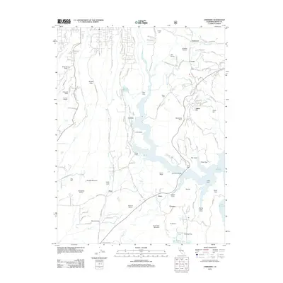
2012 Map of Cherokee
USGS Topo · Published 2012About this map
Lake Oroville and the W Br Feather River dominate this landscape, carving through a region defined by dramatic ridges and canyon drainages. The settlement of Cherokee sits at the base of Sugarloaf, south of the Sawmill Ravine, while Messilla Valley occupies the southwestern corner. Transportation and utility infrastructure are prominent, with the Paradise Skypark located near Clements Ridge and the Lime Saddle Powerhouse situated along the fingers of the reservoir. High-altitude settlements like Deadwood, Concow, and Yankee Hill are scattered across the northern and eastern uplands, connected by a network of rural roads such as Durham Pentz Rd. Local history is preserved at the Clear Creek Cem and through numerous named geographic features like Horsethief Canyon, Jordan Hill, and North Table Mountain. The map also details smaller water management systems, including Kunkle Reservoir and several smaller reservoirs like Tom Jones Reservoir and Grub Flat Reservoir.
Find a feature on this map
137 named features on this map. Tap any name to fly to it.
Don’t see what you’re looking for? This feature index may not catch every label — zoom into the map to look around manually.
Map Details
Editions of this 2012 Cherokee Map
This is the sole edition of this map. No revisions or reprints were ever made.
Other maps of this area
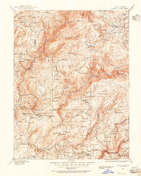
1888 · Bidwell Bar
USGS Topo · 1:125,000
1891 · Bidwell Bar
USGS Topo · 1:125,000
1891 · Chico
USGS Topo · 1:125,000
1893 · Chico
USGS Topo · 1:125,000
1893 · Bidwell Bar
USGS Topo · 1:125,000
1895 · Bidwell Bar
USGS Topo · 1:125,000
1895 · Chico
USGS Topo · 1:125,000
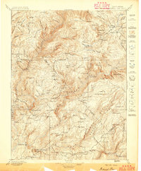
1897 · Bidwell Bar
USGS Topo · 1:125,000
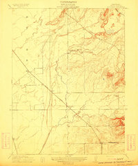
1912 · Dry Creek
USGS Topo · 1:31,680
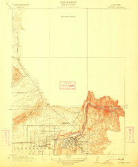
1912 · Oroville
USGS Topo · 1:31,680