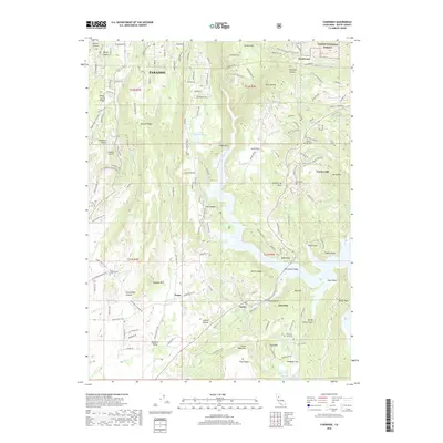
2018 Map of Cherokee
USGS Topo · Published 2018About this map
The town of Paradise sits atop the ridges of Butte County, positioned above the steep drainages that lead to the West Branch Feather River. This 2018 survey documents the intricate interface of residential development and steep canyon terrain shortly before significant landscape-altering events in the region. The map highlights the scattered historical settlements that define the area's gold-era heritage, including Cherokee, Pentz, and Yankee Hill.
Find a feature on this map
148 named features on this map. Tap any name to fly to it.
Don’t see what you’re looking for? This feature index may not catch every label — zoom into the map to look around manually.
Map Details
Editions of this 2018 Cherokee Map
This is the sole edition of this map. No revisions or reprints were ever made.
Other maps of this area

1888 · Bidwell Bar
USGS Topo · 1:125,000

1891 · Bidwell Bar
USGS Topo · 1:125,000

1891 · Chico
USGS Topo · 1:125,000

1893 · Chico
USGS Topo · 1:125,000

1893 · Bidwell Bar
USGS Topo · 1:125,000

1895 · Bidwell Bar
USGS Topo · 1:125,000

1895 · Chico
USGS Topo · 1:125,000

1897 · Bidwell Bar
USGS Topo · 1:125,000

1912 · Dry Creek
USGS Topo · 1:31,680

1912 · Oroville
USGS Topo · 1:31,680