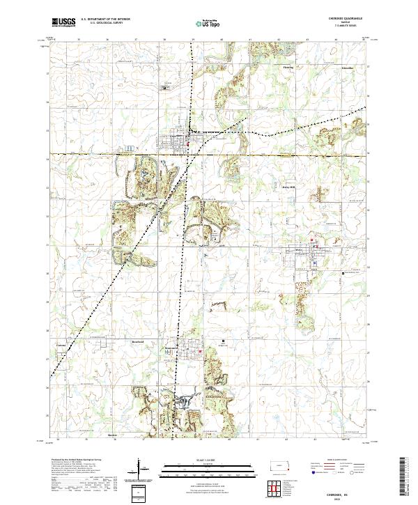
2022 Map of Cherokee
USGS Topo · Published 2022About this map
Cherokee and Weir serve as the primary hubs in this portion of Southeast Kansas, where the landscape is defined by the transition between the rolling hills of Crawford and Cherokee counties. The map documents a cluster of small communities and mining-era settlements, including Scammon, Roseland, Carona, and the northern edge of Mackie. These towns are interconnected by a grid of rural roads like NW Coal Valley Rd and NE Scammon Rd, reflecting the region's agricultural and industrial history.
Find a feature on this map
60 named features on this map. Tap any name to fly to it.
Don’t see what you’re looking for? This feature index may not catch every label — zoom into the map to look around manually.
Map Details
Editions of this 2022 Cherokee Map
This is the sole edition of this map. No revisions or reprints were ever made.
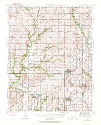
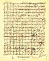
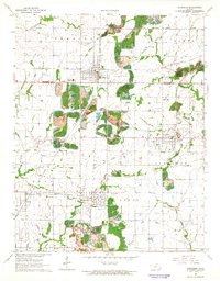
Historical Maps of Mackie Through Time
4 maps found