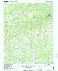
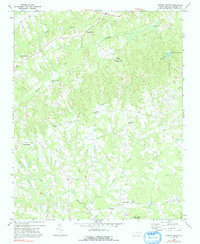
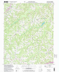
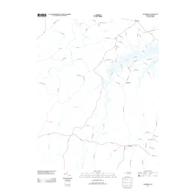
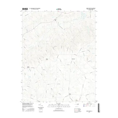
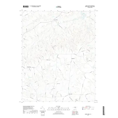
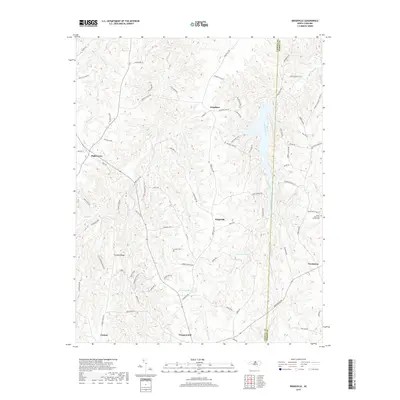
1997 Map of Cherry Grove
USGS Topo · Published 2000About this map
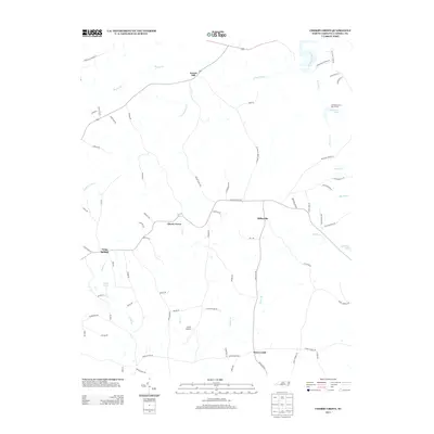
Locust Hill and Cherry Grove anchor this Caswell County landscape, which reflects a late-twentieth-century rural character defined by scattered crossroads settlements and significant conservation tracts. The northeastern portion of the sheet is dominated by the Caswell State Game Land and the Cherokee Scout Reservation, indicating a transition from traditional agricultural land use to managed recreation and wilderness preservation.
Find a feature on this map
25 named features on this map. Tap any name to fly to it.
Don’t see what you’re looking for? This feature index may not catch every label — zoom into the map to look around manually.
Map Details
Editions of this 1997 Cherry Grove Map
This is the sole edition of this map. No revisions or reprints were ever made.
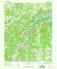
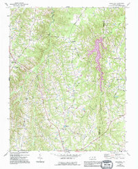
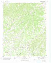
Historical Maps of Millesville Through Time
34 maps found
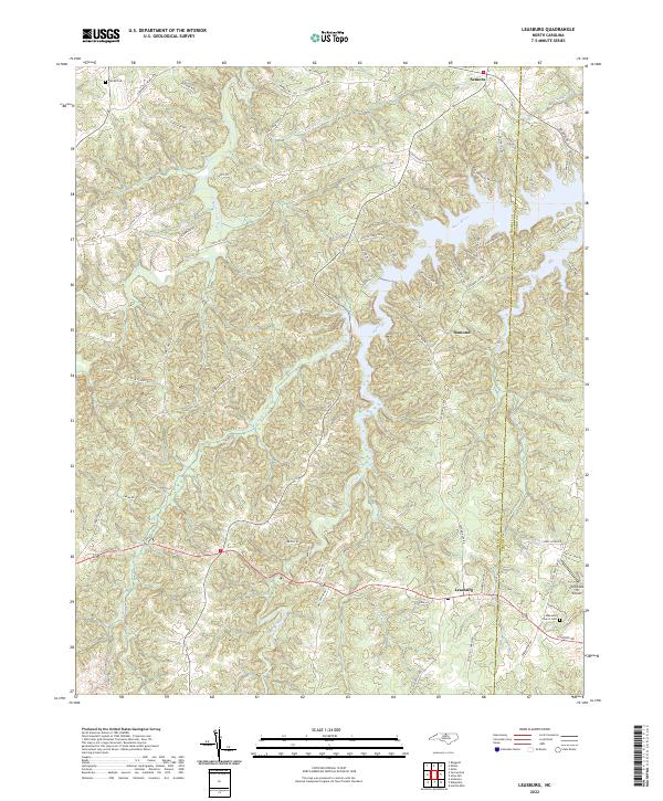
1968 Leasburg
Caswell County, NC
1968 Ridgeville
Caswell County, NC
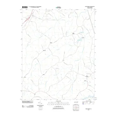
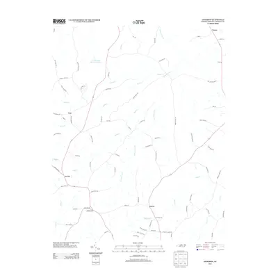
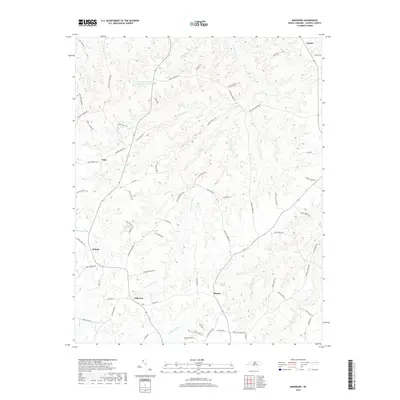
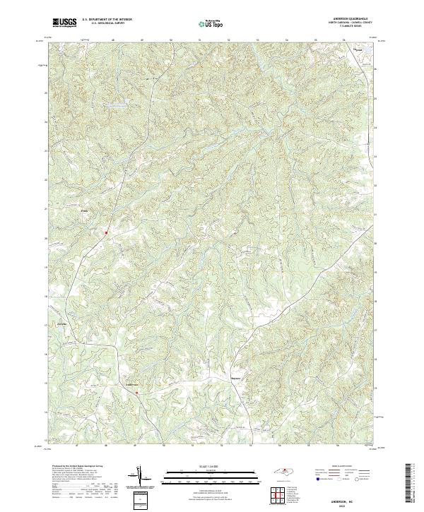
1972 Anderson
Caswell County, NC
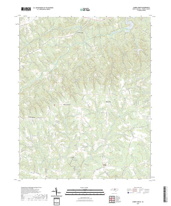
1972 Cherry Grove
Caswell County, NC
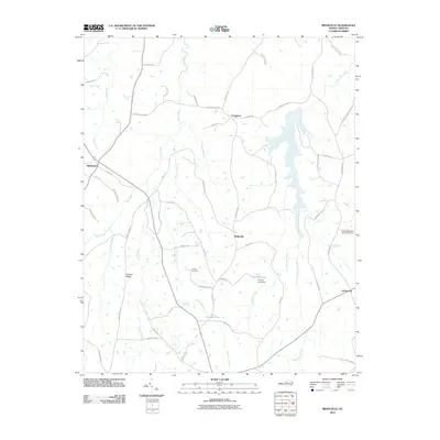
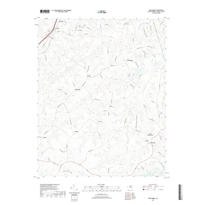
1972 Park Spring
Caswell County, NC
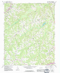
1997 Cherry Grove
Caswell County, NC
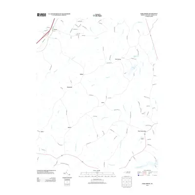
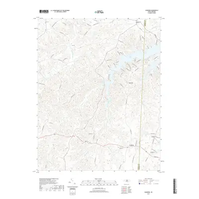
1997 Leasburg
Caswell County, NC
2002 Anderson
Caswell County, NC
2002 Park Spring
Caswell County, NC
2010 Anderson
Caswell County, NC
2010 Cherry Grove
Caswell County, NC
2010 Leasburg
Caswell County, NC
2010 Park Spring
Caswell County, NC
2010 Ridgeville
Caswell County, NC
2013 Anderson
Caswell County, NC
2013 Cherry Grove
Caswell County, NC
2013 Leasburg
Caswell County, NC
2013 Park Spring
Caswell County, NC
2013 Ridgeville
Caswell County, NC
2016 Anderson
Caswell County, NC
2016 Cherry Grove
Caswell County, NC
2016 Leasburg
Caswell County, NC
2016 Park Spring
Caswell County, NC
2016 Ridgeville
Caswell County, NC
2019 Anderson
Caswell County, NC
2019 Cherry Grove
Caswell County, NC
2019 Leasburg
Caswell County, NC
2019 Park Spring
Caswell County, NC
2019 Ridgeville
Caswell County, NC
2022 Anderson
Caswell County, NC
2022 Cherry Grove
Caswell County, NC
2022 Leasburg
Caswell County, NC
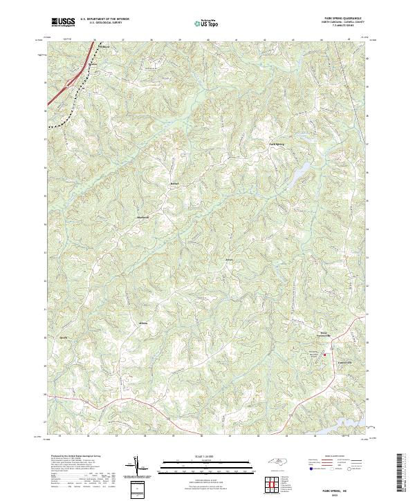
2022 Park Spring
Caswell County, NC
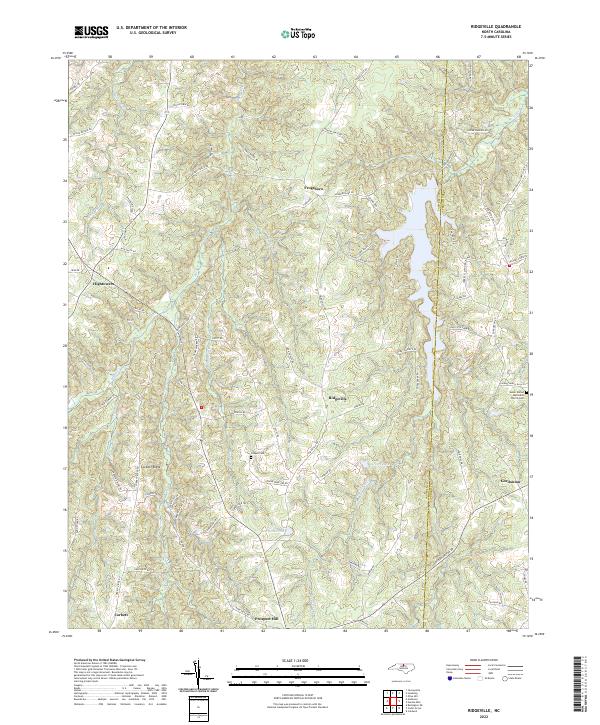
2022 Ridgeville
Caswell County, NC