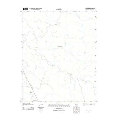
2012 Map of Cherry Peak
USGS Topo · Published 2012About this map
Tres Pinos Cr and the San Benito River define the drainage patterns of this San Benito County landscape, where the terrain transitions from the low-lying Stone Canyon to the prominent elevation of Cherry Peak. The map documents a sparsely settled ranching region characterized by large landholdings such as the One Hundred and One Ranch and the Elkhorn Ranch. These named properties, alongside features like Browns Valley and McKenna Canyon, suggest a long-standing agricultural and pastoral use of the land. The presence of the Airline Hwy serves as the primary artery through this interior valley, connecting the various creeks and canyons like Quien Sabe Cr and Los Muertos Cr to the broader regional transportation network.
Find a feature on this map
12 named features on this map. Tap any name to fly to it.
Don’t see what you’re looking for? This feature index may not catch every label — zoom into the map to look around manually.
Map Details
Editions of this 2012 Cherry Peak Map
This is the sole edition of this map. No revisions or reprints were ever made.
Other maps of this area

1919 · San Benito
USGS Topo · 1:62,500

1919 · Hollister
USGS Topo · 1:48,000

1921 · Gonzales
USGS Topo · 1:62,500

1921 · Hollister
USGS Topo · 1:62,500

1922 · Quien Sabe
USGS Topo · 1:62,500

1923 · Hollister
USGS Topo · 1:62,500

1931 · San Benito
USGS Topo · 1:62,500

1940 · Hollister
USGS Topo · 1:62,500

1940 · Quien Sabe
USGS Topo · 1:62,500

1940 · San Benito
USGS Topo · 1:62,500