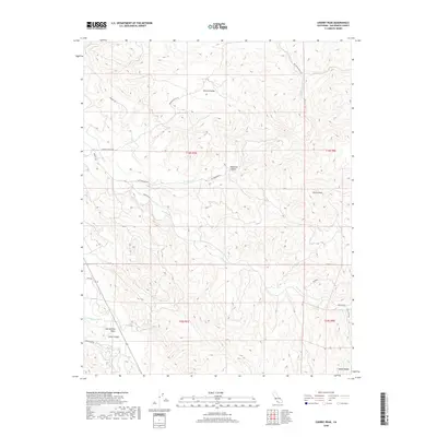
2018 Map of Cherry Peak
USGS Topo · Published 2018About this map
San Andreas Fault lines the southwestern portion of this map, marking the seismic divide within the complex terrain of the Diablo Range. The landscape is defined by its drainage systems, where the San Benito River and Tres Pinos Creek wind through deep valleys and canyons. Human presence is concentrated around small settlements like Stone Canyon and Livecak, connected by a network of rural routes such as Browns Valley Road and Panoche Road. To the north, Browns Valley provides a significant geographical landmark near Mc Creepy Ranch Road, while Cherry Peak stands as a prominent summit in the east. The map captures the interaction between significant tectonic features and the isolated ranching and canyon communities of San Benito County.
Find a feature on this map
25 named features on this map. Tap any name to fly to it.
Don’t see what you’re looking for? This feature index may not catch every label — zoom into the map to look around manually.
Map Details
Editions of this 2018 Cherry Peak Map
This is the sole edition of this map. No revisions or reprints were ever made.
Other maps of this area

1919 · San Benito
USGS Topo · 1:62,500

1919 · Hollister
USGS Topo · 1:48,000

1921 · Gonzales
USGS Topo · 1:62,500

1921 · Hollister
USGS Topo · 1:62,500

1922 · Quien Sabe
USGS Topo · 1:62,500

1923 · Hollister
USGS Topo · 1:62,500

1931 · San Benito
USGS Topo · 1:62,500

1940 · Hollister
USGS Topo · 1:62,500

1940 · Quien Sabe
USGS Topo · 1:62,500

1940 · San Benito
USGS Topo · 1:62,500