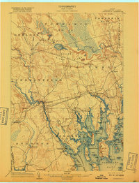
1904 Map of Cherryfield
USGS Topo · Published 1917About this map
Cherryfield serves as the inland anchor for this coastal Washington County landscape, where the West Branch Narraguagus River meets the town's industrial and residential center. The map documents an era of intense geodesic surveying, evidenced by the prominent U. S. C. and G. Survey Base Line stretching across the Pine O Ridge and the Blueberry Barrens, anchored by the West Base and East Base monuments. This precision was critical for charting the complex coastline of Narraguagus Bay and Pleasant Bay.
Find a feature on this map
101 named features on this map. Tap any name to fly to it.
Don’t see what you’re looking for? This feature index may not catch every label — zoom into the map to look around manually.
Map Details
Editions of this 1904 Cherryfield Map
5 editions found
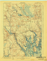
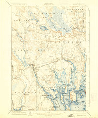
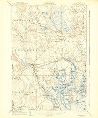
Other maps of this area

1902 · Cherryfield
USGS Topo · 1:62,500

1904 · Cherryfield
USGS Topo · 1:62,500

1904 · Bar Harbor
USGS Topo · 1:62,500

1904 · Petit Manan
USGS Topo · 1:62,500

1921 · Great Wass Island
USGS Topo · 1:62,500

1921 · Columbia Falls
USGS Topo · 1:62,500

1921 · Columbia Falls
USGS Topo · 1:62,500

1929 · Lead Mountain
USGS Topo · 1:48,000

1930 · Tunk Lake
USGS Topo · 1:48,000

1932 · Tunk Lake
USGS Topo · 1:62,500