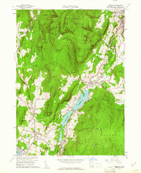
1959 Map of Cheshire
USGS Topo · Published 1961About this map
Mt Greylock State Reservation dominates the northern high ground of this 1959 revision, where the Appalachian Trail snakes along the ridgeline past Saddle Ball Mtn and Jones Nose. The industrial and social life of the valley is centered on the New York Central rail corridor and the Hoosic River, connecting the town of Cheshire with smaller outposts like Farnams and Berkshire. Notable for its detailed recording of mid-century infrastructure, the map shows a Drive-in Theater in Lanesborough and several extractive sites including Quarries and Gravel Pits. Water management is a primary theme, with the elongated Cheshire Reservoir serving as a central landmark amidst a network of brooks such as Kitchen Brook and Thunder Brook. Genealogists will find several burial sites recorded, including Riverside Cem and Scott Cem.
Find a feature on this map
86 named features on this map. Tap any name to fly to it.
Don’t see what you’re looking for? This feature index may not catch every label — zoom into the map to look around manually.
Map Details
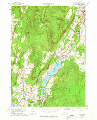
Editions of this 1959 Cheshire Map
2 editions found
Other maps of this area

1886 · Greylock
USGS Topo · 1:62,500

1886 · Becket
USGS Topo · 1:62,500

1888 · Becket
USGS Topo · 1:62,500

1888 · Berlin
USGS Topo · 1:62,500

1888 · Pittsfield
USGS Topo · 1:62,500

1890 · Pittsfield
USGS Topo · 1:62,500

1890 · Berlin
USGS Topo · 1:62,500

1891 · Greylock
USGS Topo · 1:62,500

1893 · Becket
USGS Topo · 1:62,500

1893 · Greylock
USGS Topo · 1:62,500