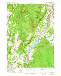
1959 Map of Cheshire
USGS Topo · Published 1966About this map
The high peaks of the Mt Greylock State Reservation dominate the northern terrain of this Berkshire County landscape, where the Appalachian Trail winds over ridges like Saddle Ball Mtn and past Jones Nose. In the valley below, the Hoosic River corridor serves as the primary artery for settlement and industry, following the New York Central railroad through Cheshire Harbor and Arnoldsville. The central feature is the expansive Cheshire Reservoir, which sits at the heart of the township, flanked by historic settlements like Farnams and Berkshire.
Find a feature on this map
66 named features on this map. Tap any name to fly to it.
Don’t see what you’re looking for? This feature index may not catch every label — zoom into the map to look around manually.
Map Details
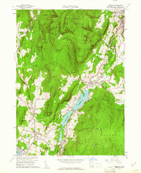
Editions of this 1959 Cheshire Map
2 editions found
Other maps of this area

1886 · Greylock
USGS Topo · 1:62,500

1886 · Becket
USGS Topo · 1:62,500

1888 · Becket
USGS Topo · 1:62,500

1888 · Berlin
USGS Topo · 1:62,500

1888 · Pittsfield
USGS Topo · 1:62,500

1890 · Pittsfield
USGS Topo · 1:62,500

1890 · Berlin
USGS Topo · 1:62,500

1891 · Greylock
USGS Topo · 1:62,500

1893 · Becket
USGS Topo · 1:62,500

1893 · Greylock
USGS Topo · 1:62,500