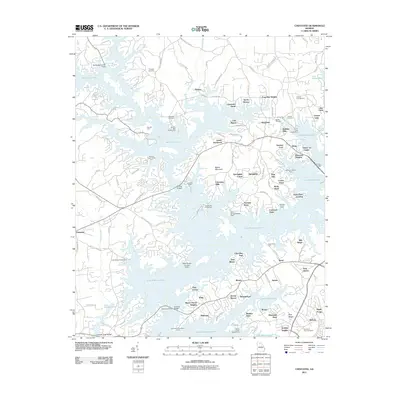
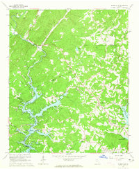
2011 Map of Chestatee
USGS Topo · Published 2011About this map
Lake Sidney Lanier dominates this section of Hall County, its labyrinthine shoreline carving into the foothills of the Blue Ridge. The landscape is a complex network of residential points and coves, including established communities like Chestatee, Vickers, and Springdale. Local heritage is anchored by several long-standing burial grounds such as Prospect Cemetery, Antioch Cemetery, and Sardis Cemetery, which remain preserved amidst the expanding waterfront developments.
Find a feature on this map
125 named features on this map. Tap any name to fly to it.
Don’t see what you’re looking for? This feature index may not catch every label — zoom into the map to look around manually.
Map Details
Editions of this 2011 Chestatee Map
This is the sole edition of this map. No revisions or reprints were ever made.
Other maps of this area

1890 · Suwanee
USGS Topo · 1:125,000

1891 · Gainesville
USGS Topo · 1:125,000

1894 · Suwanee
USGS Topo · 1:125,000

1954 · Greenville
USGS Topo · 1:250,000

1955 · Rome
USGS Topo · 1:250,000

1958 · Greenville
USGS Topo · 1:250,000
1958 · Rome
USGS Topo · 1:250,000
1961 · Rome
USGS Topo · 1:250,000
1963 · Rome
USGS Topo · 1:250,000
1964 · Murrayville
USGS Topo · 1:24,000