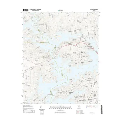
2014 Map of Chestatee
USGS Topo · Published 2014About this map
The sprawling shoreline of Lake Sidney Lanier dominates this North Georgia landscape, where the waters of the Chestatee River meet the rising suburban and recreational developments of the early 21st century. The map reveals a high concentration of named peninsulas and residential coves, such as Venture Cove, Sardis Shores, and Holiday Hills, illustrating the intensive residential growth surrounding the reservoir. On the eastern edge, the industrial and commercial outskirts of Gainesville appear, including the Mill Ridge area.
Find a feature on this map
71 named features on this map. Tap any name to fly to it.
Don’t see what you’re looking for? This feature index may not catch every label — zoom into the map to look around manually.
Map Details
Editions of this 2014 Chestatee Map
This is the sole edition of this map. No revisions or reprints were ever made.
Other maps of this area

1890 · Suwanee
USGS Topo · 1:125,000

1891 · Gainesville
USGS Topo · 1:125,000

1894 · Suwanee
USGS Topo · 1:125,000

1954 · Greenville
USGS Topo · 1:250,000

1955 · Rome
USGS Topo · 1:250,000

1958 · Greenville
USGS Topo · 1:250,000

1958 · Rome
USGS Topo · 1:250,000

1961 · Rome
USGS Topo · 1:250,000

1963 · Rome
USGS Topo · 1:250,000

1964 · Murrayville
USGS Topo · 1:24,000