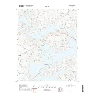
2020 Map of Chestatee
USGS Topo · Published 2020About this map
Lake Sidney Lanier dominates this modern topographical landscape, its fingers of water creating a complex shoreline that separates the growing city of Gainesville from the neighboring community of Oakwood. The map documents a contemporary suburban and rural interface, where established landmarks like Banks Mountain stand above a network of residential developments and older agricultural tracts. Local history is anchored by a significant number of cemeteries, including Sardis Baptist Cem and Antioch Methodist Cem, reflecting the early religious foundations of Hall, Forsyth, and Dawson counties.
Find a feature on this map
232 named features on this map. Tap any name to fly to it.
Don’t see what you’re looking for? This feature index may not catch every label — zoom into the map to look around manually.
Map Details
Editions of this 2020 Chestatee Map
This is the sole edition of this map. No revisions or reprints were ever made.
Other maps of this area

1890 · Suwanee
USGS Topo · 1:125,000

1891 · Gainesville
USGS Topo · 1:125,000

1894 · Suwanee
USGS Topo · 1:125,000

1954 · Greenville
USGS Topo · 1:250,000

1955 · Rome
USGS Topo · 1:250,000

1958 · Greenville
USGS Topo · 1:250,000

1958 · Rome
USGS Topo · 1:250,000

1961 · Rome
USGS Topo · 1:250,000

1963 · Rome
USGS Topo · 1:250,000

1964 · Murrayville
USGS Topo · 1:24,000