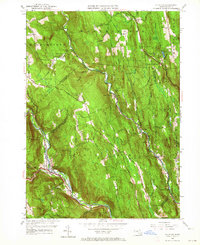
1956 Map of Chester
USGS Topo · Published 1964About this map
The Middle Branch Westfield River and the Westfield River carve through this section of the Berkshire foothills, defining the settlement patterns of towns like Chester and South Worthington. This 1956 revision, based on surveys from the 1940s, illustrates a landscape where the Boston and Albany Railroad follows the winding river valley, supporting local industry and transit. Genealogists will find a high density of small family and local burial grounds, including the Old Leonard Cem, Ireland St Cem, and Converse Cem, scattered across the higher elevations of Worthington and Chester. The map also captures the transition from cleared agricultural land to protected timber, highlighted by the Chester-Blandford State Forest and prominent landmarks like the Holcomb Hill Fire Tower and the Airway Beacon near Gobble Mtn.
Find a feature on this map
64 named features on this map. Tap any name to fly to it.
Don’t see what you’re looking for? This feature index may not catch every label — zoom into the map to look around manually.
Map Details
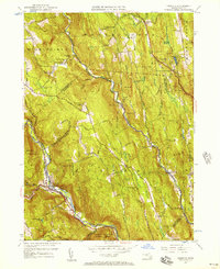
Editions of this 1956 Chester Map
2 editions found
Other maps of this area

1886 · Chesterfield
USGS Topo · 1:62,500

1886 · Becket
USGS Topo · 1:62,500

1887 · Granville
USGS Topo · 1:62,500

1888 · Becket
USGS Topo · 1:62,500

1888 · Sandisfield
USGS Topo · 1:62,500

1888 · Chesterfield
USGS Topo · 1:62,500

1889 · Granville
USGS Topo · 1:62,500

1893 · Granville
USGS Topo · 1:62,500

1893 · Chesterfield
USGS Topo · 1:62,500

1893 · Becket
USGS Topo · 1:62,500