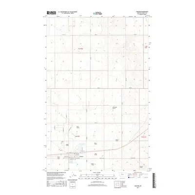
2017 Map of Chester
USGS Topo · Published 2017About this map
Chester serves as the focal point of this high plains landscape, situated along a prominent east-west transportation corridor. The town layout is clearly defined by its street grid, featuring Madison Ave and Taylor ST, with the Liberty County Airport located just to the west. This 2017 survey reveals a terrain dominated by an intricate system of coulees, including Heimbigner Coulee, Keith Coulee, and Alma Coulee, which drain the surrounding prairie toward the south.
Find a feature on this map
43 named features on this map. Tap any name to fly to it.
Don’t see what you’re looking for? This feature index may not catch every label — zoom into the map to look around manually.
Map Details
Editions of this 2017 Chester Map
This is the sole edition of this map. No revisions or reprints were ever made.
Other maps of this area

1919 · Alma
USGS Topo · 1:125,000

1954 · Shelby
USGS Topo · 1:250,000

1958 · Shelby
USGS Topo · 1:250,000

1962 · Tiber
USGS Topo · 1:24,000

1962 · Lakey Ranch
USGS Topo · 1:24,000

1963 · Joplin
USGS Topo · 1:24,000

1963 · Chester NW
USGS Topo · 1:24,000

1963 · Chester NE
USGS Topo · 1:24,000

1963 · Chester
USGS Topo · 1:24,000

1970 · Poverty Coulee NE
USGS Topo · 1:24,000