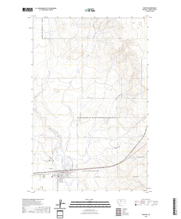
2024 Map of Chester
USGS Topo · Published 2024About this map
The Liberty County seat of Chester serves as the central hub of this agricultural landscape, where the street grid is anchored by the Liberty County Courthouse and essential local infrastructure like the Liberty County Airport. The settlement pattern reflects the importance of water management in this part of Montana, evidenced by the Great Northern Reservoir and a complex network of seasonal drainages. These coulees, including Keith Coulee, Bison Coulee, and Heimbigner Coulee, carve through the surrounding plains, directing runoff toward Cottonwood Creek. The township and range lines of the Public Land Survey System define the rectilinear road network, with routes like Laird Rd and 3000 Rd S connecting the town to the broader rural sections. This map documents a community deeply integrated with its physical geography, where local landmarks like the Chester Cem sit on the periphery of the established town center.
Find a feature on this map
44 named features on this map. Tap any name to fly to it.
Don’t see what you’re looking for? This feature index may not catch every label — zoom into the map to look around manually.
Map Details
Editions of this 2024 Chester Map
This is the sole edition of this map. No revisions or reprints were ever made.
Other maps of this area

1919 · Alma
USGS Topo · 1:125,000

1954 · Shelby
USGS Topo · 1:250,000

1958 · Shelby
USGS Topo · 1:250,000

1962 · Tiber
USGS Topo · 1:24,000

1962 · Lakey Ranch
USGS Topo · 1:24,000

1963 · Joplin
USGS Topo · 1:24,000

1963 · Chester NW
USGS Topo · 1:24,000

1963 · Chester NE
USGS Topo · 1:24,000

1963 · Chester
USGS Topo · 1:24,000

1970 · Poverty Coulee NE
USGS Topo · 1:24,000