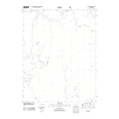
2011 Map of Chester
USGS Topo · Published 2011About this map
Chester sits at the northern edge of this high-elevation landscape, where the continental divide characteristics of the Cochetopa Hills dominate the terrain. This 2011 survey documents a complex network of alpine drainages including Tank Seven Creek, Marshall Creek, and Middle Creek, which carve through a series of named open spaces like Sawmill Park and Cameron Park. The map provides a clear look at the hydraulic patterns of the Saguache County high country, tracing Horse Spring Gulch as it meets the southern creek systems. Prominent peaks such as Windy Peak and Headwaters Hill provide vertical context to the winding course of Co Rd XX32, illustrating how modern infrastructure follows the natural contours of the mountain passes.
Find a feature on this map
20 named features on this map. Tap any name to fly to it.
Don’t see what you’re looking for? This feature index may not catch every label — zoom into the map to look around manually.
Map Details
Editions of this 2011 Chester Map
This is the sole edition of this map. No revisions or reprints were ever made.
Other maps of this area

1956 · Montrose
USGS Topo · 1:250,000

1959 · Montrose
USGS Topo · 1:250,000

1959 · Bonanza
USGS Topo · 1:62,500

1960 · Montrose
USGS Topo · 1:250,000

1964 · Sargents
USGS Topo · 1:24,000

1967 · Sargents Mesa
USGS Topo · 1:24,000

1967 · Trickle Mountain
USGS Topo · 1:24,000

1967 · Lake Mountain NE
USGS Topo · 1:24,000

1967 · Chester
USGS Topo · 1:24,000

1967 · Pahlone Peak
USGS Topo · 1:24,000