
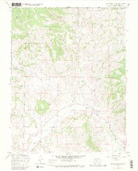
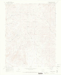
1967 Map of Lake Mountain NE
USGS Topo · Published 1969About this map
The Rio Grande National Forest dominates this high-altitude landscape, where the waters of Saguache Creek flow through a complex system of drainages including Middle Creek and Jacks Creek. The map provides a clear record of 1960s land use and resource management, evidenced by the Gaging Sta along the creek and the presence of a Pipeline and Jeep Trail cutting through the terrain. For local historians, the Jacks Creek Cem and a nearby Mine offer a glimpse into the earlier settlement and industry of this mountainous region in Saguache County. Distinctive natural landmarks such as Castle Rock and Houghland Hill anchor the topography, while numerous gulches like Poison Gulch and Chico Gulch define the rugged character of the area just before more modern developments moved in.
Find a feature on this map
22 named features on this map. Tap any name to fly to it.
Don’t see what you’re looking for? This feature index may not catch every label — zoom into the map to look around manually.
Map Details
Editions of this 1967 Lake Mountain NE Map
3 editions found
Other maps of this area

1956 · Montrose
USGS Topo · 1:250,000

1959 · Montrose
USGS Topo · 1:250,000

1959 · Bonanza
USGS Topo · 1:62,500

1960 · Montrose
USGS Topo · 1:250,000

1967 · Sargents Mesa
USGS Topo · 1:24,000
1967 · Laughlin Gulch
USGS Topo · 1:24,000

1967 · Trickle Mountain
USGS Topo · 1:24,000
1967 · Lake Mountain NE
USGS Topo · 1:24,000

1967 · Chester
USGS Topo · 1:24,000
1967 · Klondike Mine
USGS Topo · 1:24,000