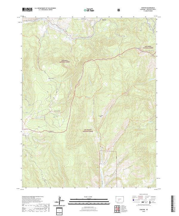
2022 Map of Chester
USGS Topo · Published 2022About this map
Chester serves as a central reference point in this high-altitude landscape where the Sawatch Range meets the Cochetopa Hills. This 2022 survey captures a complex intersection of administrative boundaries and natural watersheds, with the Continental Divide cutting through the heart of the terrain. The map documents an extensive network of modern recreational pathways, including the Continental Divide National Scenic Trl and the Marshall Pass Snowmobile Trl, illustrating the contemporary use of lands managed by the Rio Grande National Forest, Gunnison National Forest, and San Isabel National Forest. Notable landmarks such as Windy Peak and Cameron Park are situated among the headwaters of numerous drainages, including Marshall Cr and Tank Seven Cr, which define the drainage patterns of this mountain pass region.
Find a feature on this map
42 named features on this map. Tap any name to fly to it.
Don’t see what you’re looking for? This feature index may not catch every label — zoom into the map to look around manually.
Map Details
Editions of this 2022 Chester Map
This is the sole edition of this map. No revisions or reprints were ever made.
Other maps of this area

1956 · Montrose
USGS Topo · 1:250,000

1959 · Montrose
USGS Topo · 1:250,000

1959 · Bonanza
USGS Topo · 1:62,500

1960 · Montrose
USGS Topo · 1:250,000

1964 · Sargents
USGS Topo · 1:24,000

1967 · Sargents Mesa
USGS Topo · 1:24,000

1967 · Trickle Mountain
USGS Topo · 1:24,000

1967 · Lake Mountain NE
USGS Topo · 1:24,000

1967 · Chester
USGS Topo · 1:24,000

1967 · Pahlone Peak
USGS Topo · 1:24,000