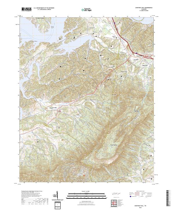
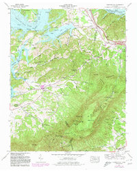
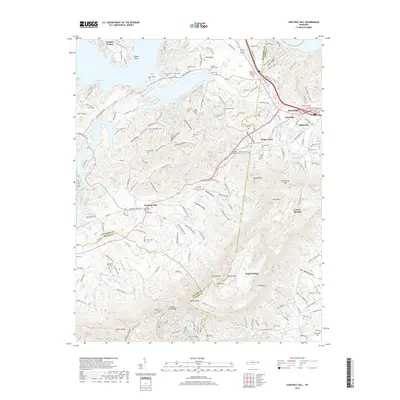
2022 Map of Chestnut Hill
USGS Topo · Published 2022About this map
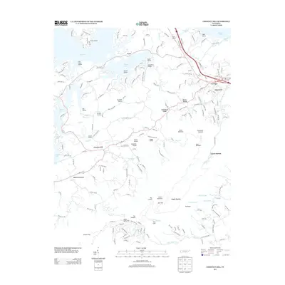
Douglas Lake and its intricate northern shorelines of Flat Creek and Ball Creek define the northern reaches of this East Tennessee landscape. The terrain rises sharply toward the south, culminating in the prominent ridgeline of English Mountain, which features landmarks like The Pinnacle, Split Gap, and The Lookoff. This area reflects a dense pattern of early settlement and family history, evidenced by the numerous burial grounds including Lawson Chapel Cem, Antioch Cem, and Rinehart Cem. The community of Chestnut Hill sits at a crossroads near the center of the sheet, while the larger center of Newport and the neighborhood of Edgemont occupy the eastern edge along the Cocke County line. The map captures the complex drainage of the foothills, where Muddy Creek and Clear Creek carve through numerous hollows like Grapevine Hollow and Strange Hollow.
Find a feature on this map
195 named features on this map. Tap any name to fly to it.
Don’t see what you’re looking for? This feature index may not catch every label — zoom into the map to look around manually.
Map Details
Editions of this 2022 Chestnut Hill Map
This is the sole edition of this map. No revisions or reprints were ever made.
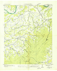
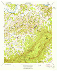
Historical Maps of Newport Through Time
18 maps found
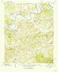
1935 Clevenger
Jefferson County, TN
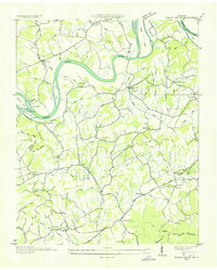
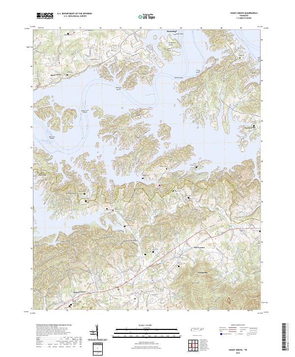
1935 Shady Grove
Jefferson County, TN

1935 Straw Plains
Jefferson County, TN
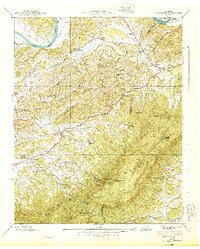
1939 Clevenger
Jefferson County, TN
1939 Shady Grove
Jefferson County, TN
1940 Clevenger
Jefferson County, TN
1961 Chestnut Hill
Jefferson County, TN
1961 Shady Grove
Jefferson County, TN

2010 Chestnut Hill
Jefferson County, TN
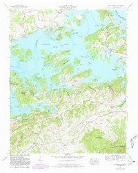
2010 Shady Grove
Jefferson County, TN
2013 Chestnut Hill
Jefferson County, TN
2013 Shady Grove
Jefferson County, TN
2016 Chestnut Hill
Jefferson County, TN
2016 Shady Grove
Jefferson County, TN
2019 Chestnut Hill
Jefferson County, TN
2019 Shady Grove
Jefferson County, TN
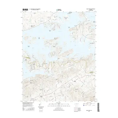
2022 Chestnut Hill
Jefferson County, TN
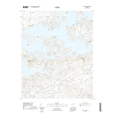
2022 Shady Grove
Jefferson County, TN