Loading...
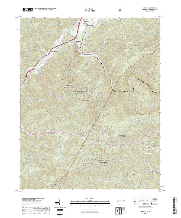
Loading map...2022 Map of Chestoa
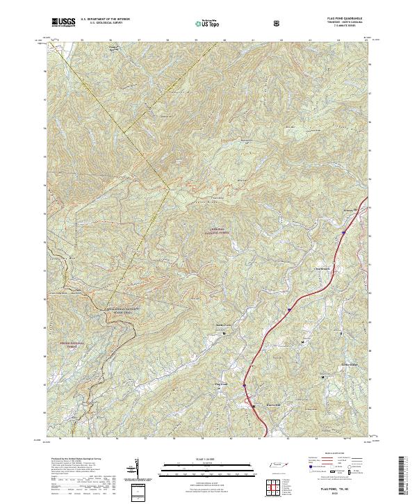
USGS Topo · Published 2022About this map
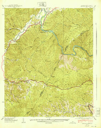
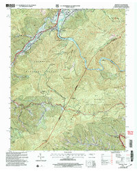
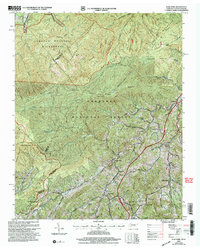
The Nolichucky River carves a deep path through the high country of the Blue Ridge, serving as a primary corridor for early settlement and transport. In the northern reaches, the town of Erwin and adjacent communities like Riverview and Love Station sit within a valley defined by the Unaka Mountains and Rich Mtn. This geography funnels local traffic toward the Chestoa Pike and Asheville Hwy, reflecting the historical reliance on river-gap passage through the mountains.
Find a feature on this map
125 named features on this map. Tap any name to fly to it.
Don’t see what you’re looking for? This feature index may not catch every label — zoom into the map to look around manually.
Map Details
Date Portrayed2022
Date Published2022
PublisherU.S. Geological Survey
Map TypeTopographic
Scale1:24000
Physical Dimensions24 x 29 inches
Editions of this 2022 Chestoa Map
This is the sole edition of this map. No revisions or reprints were ever made.
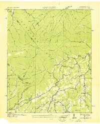
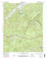
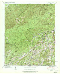
Historical Maps of River Hill Through Time
9 maps found

Featured Locations
Source Details
SourceU.S. Geological Survey
CopyrightPublic Domain