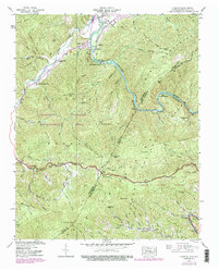
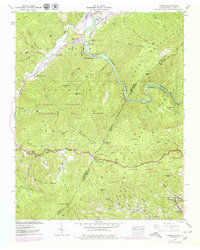
1939 Map of Chestoa
USGS Topo · Published 1979About this map
The Nolichucky River carves a deep path through the high ridges of the Cherokee National Forest and Pisgah National Forest on this survey of the Tennessee-North Carolina border. In 1939, when the Tennessee Valley Authority field-checked this area, the landscape was a mix of isolated riverfront settlements and managed wilderness. The Clinchfield RR follows the river's winding course, passing through Chestoa and Unaka Springs, while a segment of the Appalachian Trail traverses Johnson Rock Ridge to the east. The density of rural infrastructure, including the Mountainview Sch and several family-named gaps like Hollybush Gap and Curley Maple Gap, reflects a settled mountain geography before the later 20th-century consolidation of timber and game lands. Researchers can trace small communities like River Hill and Lost Cove alongside the state line dividing Unicoi County from Mitchell and Yancey Counties.
Find a feature on this map
99 named features on this map. Tap any name to fly to it.
Don’t see what you’re looking for? This feature index may not catch every label — zoom into the map to look around manually.
Map Details
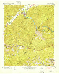
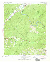
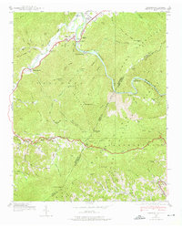
Editions of this 1939 Chestoa Map
5 editions found
Other maps of this area

1891 · Roan Mountain
USGS Topo · 1:125,000

1892 · Greeneville
USGS Topo · 1:125,000

1894 · Asheville
USGS Topo · 1:125,000

1894 · Roan Mountain
USGS Topo · 1:125,000

1896 · Greeneville
USGS Topo · 1:125,000

1900 · Mount Mitchell
USGS Topo · 1:125,000

1901 · Asheville
USGS Topo · 1:125,000

1902 · Mount Mitchell
USGS Topo · 1:125,000

1904 · Roan Mountain
USGS Topo · 1:125,000

1904 · Greeneville
USGS Topo · 1:125,000