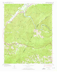
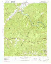
1939 Map of Chestoa
USGS Topo · Published 1975About this map
The Nolichucky River carves a deep path through the Unaka Mountains in this 1939 Tennessee Valley Authority survey, illustrating a landscape defined by sharp elevation changes and the infrastructure of the Clinchfield RR. Small mountain communities like Chestoa and Unaka Springs cluster near the riverbanks, while isolated schools such as Temple Hill Sch and Mountaindale Sch serve families in the surrounding gaps.
Find a feature on this map
98 named features on this map. Tap any name to fly to it.
Don’t see what you’re looking for? This feature index may not catch every label — zoom into the map to look around manually.
Map Details
Editions of this 1939 Chestoa Map
5 editions found
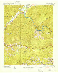
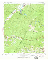
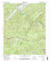
Other maps of this area

1891 · Roan Mountain
USGS Topo · 1:125,000

1892 · Greeneville
USGS Topo · 1:125,000

1894 · Asheville
USGS Topo · 1:125,000

1894 · Roan Mountain
USGS Topo · 1:125,000

1896 · Greeneville
USGS Topo · 1:125,000

1900 · Mount Mitchell
USGS Topo · 1:125,000

1901 · Asheville
USGS Topo · 1:125,000

1902 · Mount Mitchell
USGS Topo · 1:125,000

1904 · Roan Mountain
USGS Topo · 1:125,000

1904 · Greeneville
USGS Topo · 1:125,000