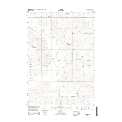
2014 Map of Chestonia
USGS Topo · Published 2014About this map
The Jordan River flows through the center of this rural landscape at the border of Charlevoix and Antrim Counties. This terrain is defined by the high ground of the Rainey Hills and a complex network of tributaries including Sutton Cr, Mill Cr, and Scott Cr. Small settlements and points of interest such as Chestonia, Finkton, and Mt Bliss are connected by a grid of local roads, many bearing family names like Bartholomew Rd and Rejhal Rd. The map reveals a high density of small burial grounds for such a sparsely populated area, including the Trojanek Cem, Settlement Cem, and Saint Johns Cem. River crossings are specifically identified by name, such as the Webster Bridge and Pinney Bridge, indicating the historical importance of these specific transit points across the often-branching river valleys.
Find a feature on this map
82 named features on this map. Tap any name to fly to it.
Don’t see what you’re looking for? This feature index may not catch every label — zoom into the map to look around manually.
Map Details
Editions of this 2014 Chestonia Map
This is the sole edition of this map. No revisions or reprints were ever made.
Other maps of this area

1954 · Traverse City
USGS Topo · 1:250,000

1955 · Cheboygan
USGS Topo · 1:250,000

1956 · Alba
USGS Topo · 1:62,500

1956 · Mancelona
USGS Topo · 1:62,500

1958 · Cheboygan
USGS Topo · 1:250,000

1958 · Traverse City
USGS Topo · 1:250,000

1961 · Boyne Falls
USGS Topo · 1:62,500

1961 · Boyne City
USGS Topo · 1:62,500

1975 · Mancelona NE
USGS Topo · 1:24,000

1975 · Mancelona NW
USGS Topo · 1:24,000