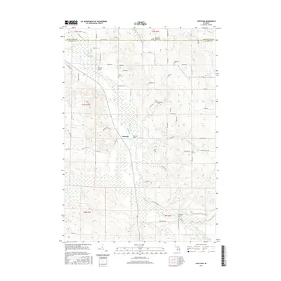
2017 Map of Chestonia
USGS Topo · Published 2017About this map
Chestonia sits at the heart of this landscape where the Jordan River and its numerous tributaries, including Kocher Cr and Webster Cr, carve through the varied terrain of Antrim and Charlevoix counties. The map documents a rural network of river crossings and small community landmarks, anchored by historic family and community burial grounds such as the Saint Johns Nepomocene Pioneer Cem and Trojanek Cem. Local transit is defined by traditional river access points like Chestonia Bridge and Pinney Bridge, alongside the high ground of Rainey Hill and Mt Bliss. The distribution of these features suggests a long-standing agricultural and forestry-based settlement pattern, preserved here before more modern developments could obscure the original township footprints and pioneer-era sites that continue to define the northern Michigan backcountry.
Find a feature on this map
87 named features on this map. Tap any name to fly to it.
Don’t see what you’re looking for? This feature index may not catch every label — zoom into the map to look around manually.
Map Details
Editions of this 2017 Chestonia Map
This is the sole edition of this map. No revisions or reprints were ever made.
Other maps of this area

1954 · Traverse City
USGS Topo · 1:250,000

1955 · Cheboygan
USGS Topo · 1:250,000

1956 · Alba
USGS Topo · 1:62,500

1956 · Mancelona
USGS Topo · 1:62,500

1958 · Cheboygan
USGS Topo · 1:250,000

1958 · Traverse City
USGS Topo · 1:250,000

1961 · Boyne Falls
USGS Topo · 1:62,500

1961 · Boyne City
USGS Topo · 1:62,500

1975 · Mancelona NE
USGS Topo · 1:24,000

1975 · Mancelona NW
USGS Topo · 1:24,000