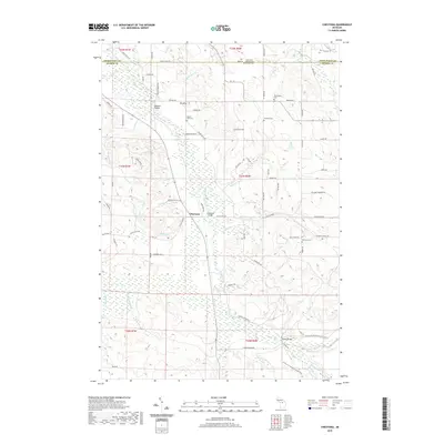
2019 Map of Chestonia
USGS Topo · Published 2019About this map
The Jordan River valley defines this Antrim County landscape, serving as the central corridor for both local infrastructure and regional recreation. Settlement is concentrated around the namesake hamlet of Chestonia, where the Chestonia Bridge crosses the river near the junction of several rural routes. Local history is deeply rooted in the surrounding hills, evidenced by a high density of small cemeteries including Settlement Cem, Pioneer Cem, and the Mount Bliss Cem near the prominent elevation of Mt Bliss.
Find a feature on this map
91 named features on this map. Tap any name to fly to it.
Don’t see what you’re looking for? This feature index may not catch every label — zoom into the map to look around manually.
Map Details
Editions of this 2019 Chestonia Map
This is the sole edition of this map. No revisions or reprints were ever made.
Other maps of this area

1954 · Traverse City
USGS Topo · 1:250,000

1955 · Cheboygan
USGS Topo · 1:250,000
1956 · Alba
USGS Topo · 1:62,500
1956 · Mancelona
USGS Topo · 1:62,500

1958 · Cheboygan
USGS Topo · 1:250,000

1958 · Traverse City
USGS Topo · 1:250,000
1961 · Boyne Falls
USGS Topo · 1:62,500
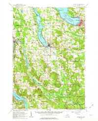
1961 · Boyne City
USGS Topo · 1:62,500
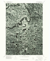
1975 · Mancelona NE
USGS Topo · 1:24,000
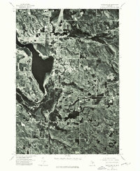
1975 · Mancelona NW
USGS Topo · 1:24,000