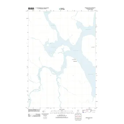
2011 Map of Chesuncook
USGS Topo · Published 2011About this map
Chesuncook serves as the focal point for this wilderness survey, situated on the western shore of the massive Chesuncook Lake. The landscape is dominated by the complex hydrology of the North Maine Woods, where the West Branch Penobscot River meanders into the lake from the west. Notable geographic markers include the expansive Gero Island and the specifically named Graveyard Point, which suggests a history of local interment for the settlement’s early residents.
Find a feature on this map
13 named features on this map. Tap any name to fly to it.
Don’t see what you’re looking for? This feature index may not catch every label — zoom into the map to look around manually.
Map Details
Editions of this 2011 Chesuncook Map
This is the sole edition of this map. No revisions or reprints were ever made.
Other maps of this area

1954 · Chesuncook
USGS Topo · 1:62,500

1954 · North East Carry
USGS Topo · 1:62,500

1954 · Caucomgomoc Lake
USGS Topo · 1:62,500

1954 · Grant Farm
USGS Topo · 1:62,500

1954 · Presque Isle
USGS Topo · 1:250,000

1954 · Millinocket
USGS Topo · 1:250,000

1958 · Presque Isle
USGS Topo · 1:250,000

1958 · Millinocket
USGS Topo · 1:250,000

1958 · Chesuncook
USGS Topo · 1:62,500

1958 · Caucomgomoc Lake
USGS Topo · 1:62,500