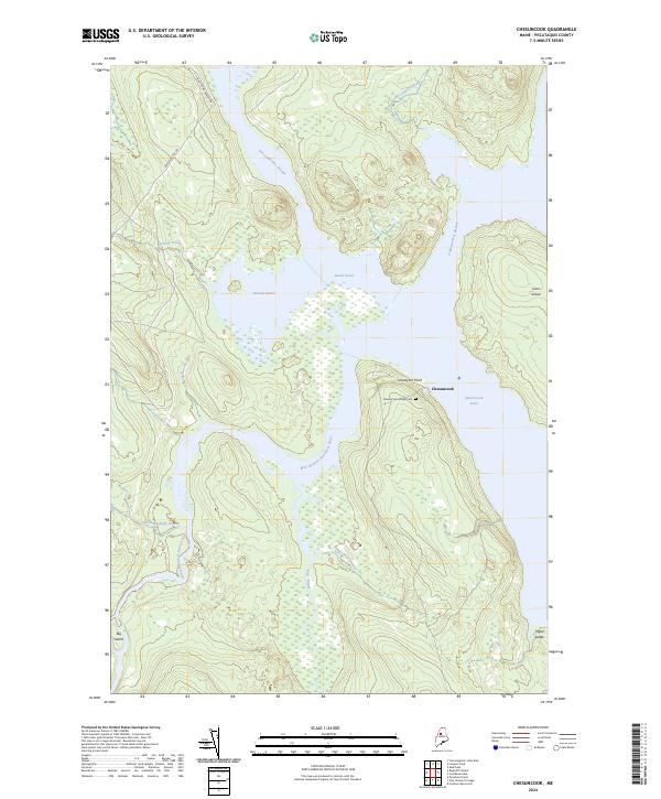
2024 Map of Chesuncook
USGS Topo · Published 2024About this map
The West Branch Penobscot River winds through this Piscataquis County landscape, converging with the expansive Chesuncook Lake near the historic settlement of Chesuncook. This area reflects a long-standing intersection of water-based transport and forest management, where the flow of numerous tributaries like Caucomgomoc Stream and Umbazooksus Stream shaped the local geography. The presence of the Chesuncook Village Cem on Graveyard Point provides a tangible link to the community's ancestral roots and early settlement history.
Find a feature on this map
20 named features on this map. Tap any name to fly to it.
Don’t see what you’re looking for? This feature index may not catch every label — zoom into the map to look around manually.
Map Details
Editions of this 2024 Chesuncook Map
This is the sole edition of this map. No revisions or reprints were ever made.
Other maps of this area

1954 · Chesuncook
USGS Topo · 1:62,500

1954 · North East Carry
USGS Topo · 1:62,500

1954 · Caucomgomoc Lake
USGS Topo · 1:62,500

1954 · Grant Farm
USGS Topo · 1:62,500

1954 · Presque Isle
USGS Topo · 1:250,000

1954 · Millinocket
USGS Topo · 1:250,000

1958 · Presque Isle
USGS Topo · 1:250,000

1958 · Millinocket
USGS Topo · 1:250,000

1958 · Chesuncook
USGS Topo · 1:62,500

1958 · Caucomgomoc Lake
USGS Topo · 1:62,500