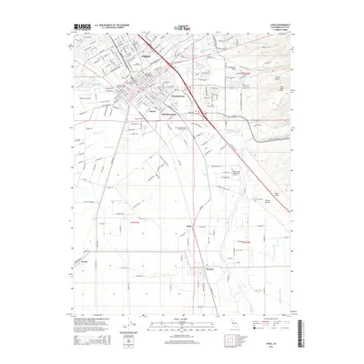
2015 Map of Chico
USGS Topo · Published 2015About this map
Chico serves as the primary urban center for this portion of the northern Central Valley, where the campus of California State University-Chico and the historic Chico Cemetery sit near the city's heart. The map documents a complex landscape of residential neighborhoods like Chapmantown and industrial pockets such as Barber and Stirling Junction, which are interlaced with numerous water management features like the Butte-Chico Diversion Channel and Crough Ditch.
Find a feature on this map
37 named features on this map. Tap any name to fly to it.
Don’t see what you’re looking for? This feature index may not catch every label — zoom into the map to look around manually.
Map Details
Editions of this 2015 Chico Map
This is the sole edition of this map. No revisions or reprints were ever made.
Other maps of this area

1891 · Chico
USGS Topo · 1:125,000

1893 · Chico
USGS Topo · 1:125,000

1895 · Chico
USGS Topo · 1:125,000

1912 · Dry Creek
USGS Topo · 1:31,680

1912 · Durham
USGS Topo · 1:31,680

1912 · Nord
USGS Topo · 1:31,680

1912 · Chico Landing
USGS Topo · 1:31,680

1912 · Nelson
USGS Topo · 1:31,680

1912 · Keefers
USGS Topo · 1:31,680

1912 · Clear Creek
USGS Topo · 1:31,680