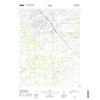
2018 Map of Chico
USGS Topo · Published 2018About this map
Chico and its surrounding communities dominate this landscape, showing a dense network of suburban expansion and historic neighborhoods. The presence of California State Univ - Chico and the industrial-rooted districts of Barber and Chapmantown highlight the city's evolution from a regional agricultural hub to an educational and commercial center. Significant water management is evident through features like the Lindo Channel and Butte Cr Diversion Channel, which direct runoff around the developed areas.
Find a feature on this map
33 named features on this map. Tap any name to fly to it.
Don’t see what you’re looking for? This feature index may not catch every label — zoom into the map to look around manually.
Map Details
Editions of this 2018 Chico Map
This is the sole edition of this map. No revisions or reprints were ever made.
Other maps of this area

1891 · Chico
USGS Topo · 1:125,000

1893 · Chico
USGS Topo · 1:125,000

1895 · Chico
USGS Topo · 1:125,000

1912 · Dry Creek
USGS Topo · 1:31,680

1912 · Durham
USGS Topo · 1:31,680

1912 · Nord
USGS Topo · 1:31,680

1912 · Chico Landing
USGS Topo · 1:31,680

1912 · Nelson
USGS Topo · 1:31,680

1912 · Keefers
USGS Topo · 1:31,680

1912 · Clear Creek
USGS Topo · 1:31,680