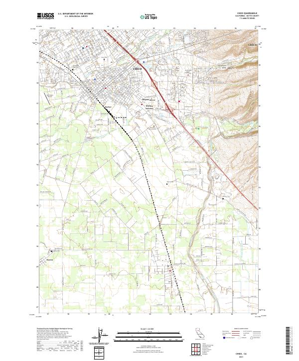
2021 Map of Chico
USGS Topo · Published 2021About this map
Chico serves as the focal point of this northern Sacramento Valley landscape, where the campus of California State University - Chico meets the urban grid and the historic Southern Pacific RR corridor. The map reveals the distinct neighborhoods of Barber, Chapmantown, and Stirling Junction, illustrating the town's expansion and industrial roots. Cultural and ancestral significance is evident at the Mechoopda Tribal Cem, while local governance is anchored by the North-Butte County Courthouse.
Find a feature on this map
61 named features on this map. Tap any name to fly to it.
Don’t see what you’re looking for? This feature index may not catch every label — zoom into the map to look around manually.
Map Details
Editions of this 2021 Chico Map
This is the sole edition of this map. No revisions or reprints were ever made.
Other maps of this area

1891 · Chico
USGS Topo · 1:125,000

1893 · Chico
USGS Topo · 1:125,000

1895 · Chico
USGS Topo · 1:125,000

1912 · Dry Creek
USGS Topo · 1:31,680

1912 · Durham
USGS Topo · 1:31,680

1912 · Nord
USGS Topo · 1:31,680

1912 · Chico Landing
USGS Topo · 1:31,680

1912 · Nelson
USGS Topo · 1:31,680

1912 · Keefers
USGS Topo · 1:31,680

1912 · Clear Creek
USGS Topo · 1:31,680